Transport Functions
Port
Road
Hub Profile
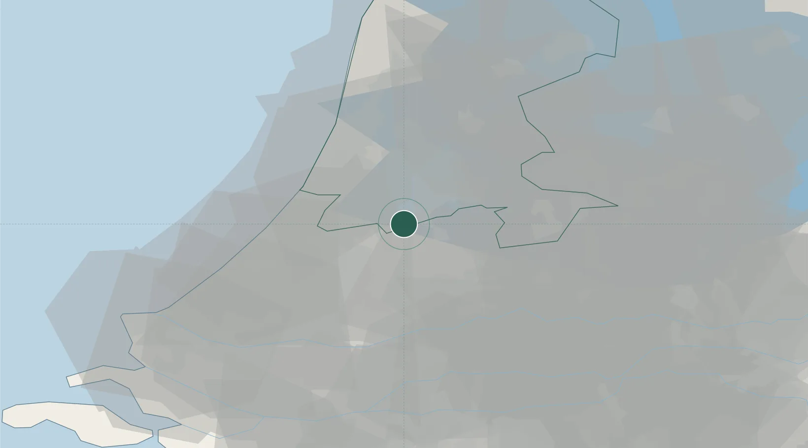
Place type
Populated place
Region
South Holland
Population
285
Time zone
Europe/Amsterdam
Elevation
-2 m
Location
Nearby Logistics Neighbours
Cities
- 1Amstelhoek3 km
- 2Aalsmeerderbrug4 km
- 3Rijsenhout5 km
- 4Bilderdam5 km
- 5De Hoef5 km
Ports
- 1Amsterdam17 km
- 2Zaandam23 km
- 3Ijmuiden29 km
- 4Scheveningen38 km
- 5Rotterdam42 km
Airports
Trade Zones
- 1Freeport of Duisburg152 km
- 2Rheinische Revier SWZ184 km
- 3ZFU Tourcoing202 km
- 4Freeport of Emden203 km
- 5ZFU Hem et Roubaix205 km
DatabookThe Record of Consolidated Knowledge
Netherlands beyond logistics?