Transport Functions
Port
Road
Hub Profile
Place type
Populated place
Region
North Holland
Time zone
Europe/Amsterdam
Elevation
0 m
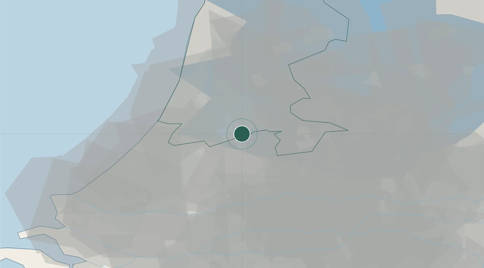
Location
Nearby Logistics Neighbours
Cities
- 1Nessersluis2 km
- 2Ouderkerk aan de Amstel4 km
- 3Amstelhoek5 km
- 4Baambrugge7 km
- 5Vrouwenakker8 km
Ports
- 1Amsterdam11 km
- 2Zaandam19 km
- 3Ijmuiden30 km
- 4Scheveningen46 km
- 5Rotterdam49 km
Airports
Trade Zones
- 1Freeport of Duisburg148 km
- 2Rheinische Revier SWZ183 km
- 3Freeport of Emden195 km
- 4ZFU Tourcoing209 km
- 5ZFU Hem et Roubaix212 km
DatabookThe Record of Consolidated Knowledge
Netherlands beyond logistics?