UN/LOCODE hub · Netherlands
NLAMB
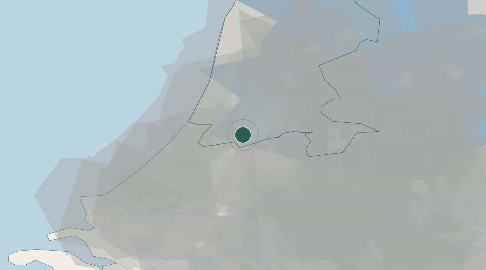
Aalsmeerderbrug
52.2667°, 4.7500°
505
Population
2
Transport functions
Transport Functions
Port
Road
Hub Profile
Place type
Populated place
Region
North Holland
Population
505
Time zone
Europe/Amsterdam
Elevation
-2 m
Location
Nearby Logistics Neighbours
Cities
- 1Rijsenhout3 km
- 2Vrouwenakker4 km
- 3Bilderdam6 km
- 4Amstelhoek7 km
- 5Leimuiderbrug7 km
Ports
- 1Amsterdam15 km
- 2Zaandam19 km
- 3Ijmuiden25 km
- 4Scheveningen38 km
- 5Rotterdam45 km
Airports
Trade Zones
- 1Freeport of Duisburg156 km
- 2Rheinische Revier SWZ188 km
- 3Freeport of Emden203 km
- 4ZFU Tourcoing204 km
- 5ZFU Hem et Roubaix207 km
DatabookThe Record of Consolidated Knowledge
Netherlands beyond logistics?