Transport Functions
Multimodal
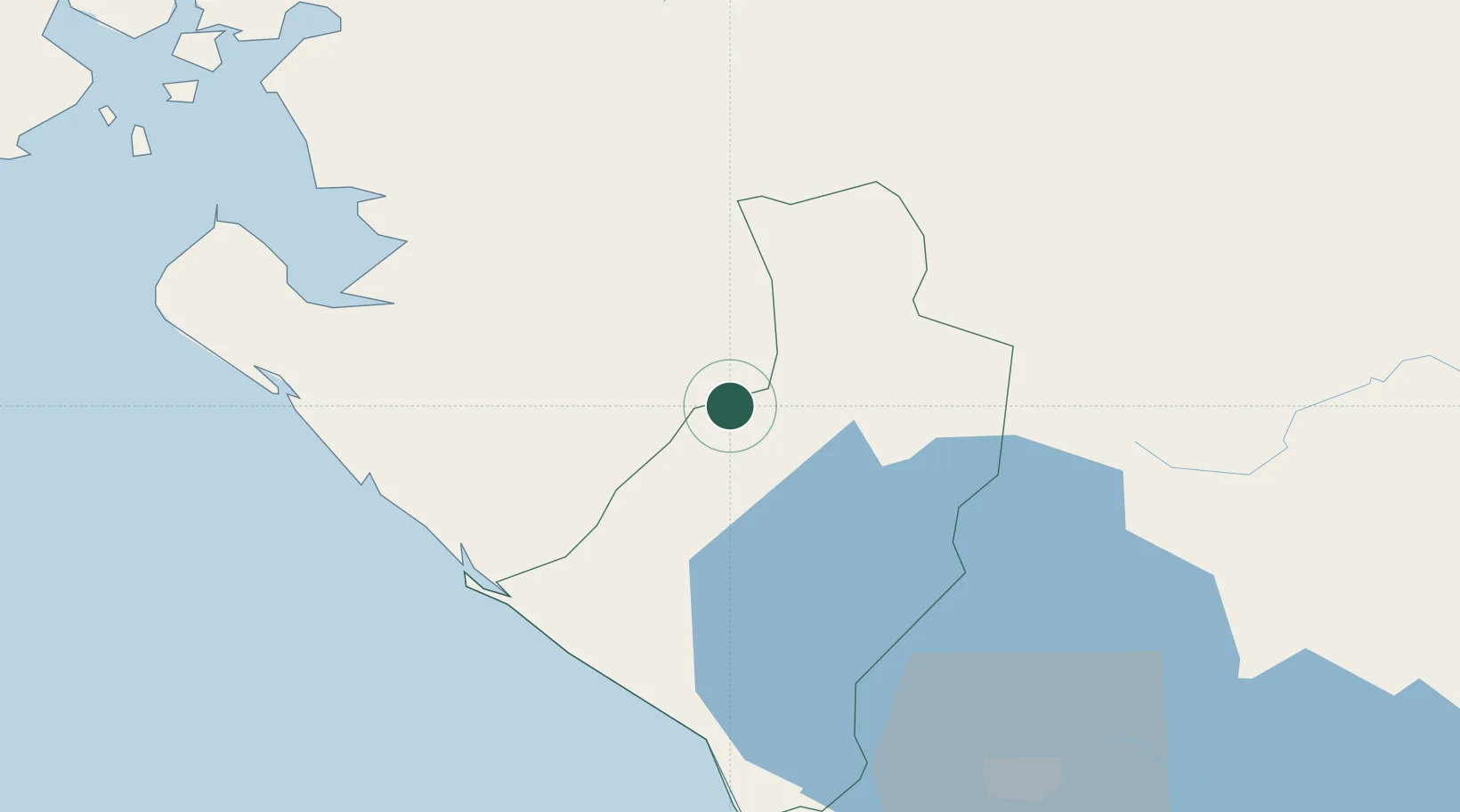
Hub Profile
Place type
Populated place
Region
León Department
Time zone
America/Managua
Elevation
76 m
Location
Nearby Logistics Neighbours
Cities
- 1El Sauce26 km
- 2El Jicaral40 km
- 3El Viejo48 km
- 4San Benito (San Francisco Libre)53 km
- 5Corinto55 km
Ports
- 1Corinto56 km
- 2Puerto Sandino63 km
- 3Puerto De Hencan106 km
- 4La Union136 km
- 5Bluefields334 km
Airports
Trade Zones
DatabookThe Record of Consolidated Knowledge
Nicaragua beyond logistics?