Channel & Berth Profile
Pilotage, Tugs & Services
Pilotage compulsoryYES
Pilotage availableYES
Pilotage advisableYES
Tug assistanceYES
Salvage tugsNO
Potable waterYES
Diesel bunkersYES
MedicalYES
Garbage disposalNO
Facilities & Capabilities
ContainerYES
Ro-Ro—
Liquid bulkYES
Dry bulk—
Oil terminal—
Break bulkYES
Dry dock—
RepairsNO
BunkeringYES
Rail link—
Dangerous cargo—
ISPS securityYES
Harbour Specifications
Harbour size
Small
Harbour type
Open Roadstead
Shelter
Good
Water body
Caribbean Sea; North Atlantic Ocean
Tidal range
0.3 m
Overhead limit
Yes
Pilotage
Yes
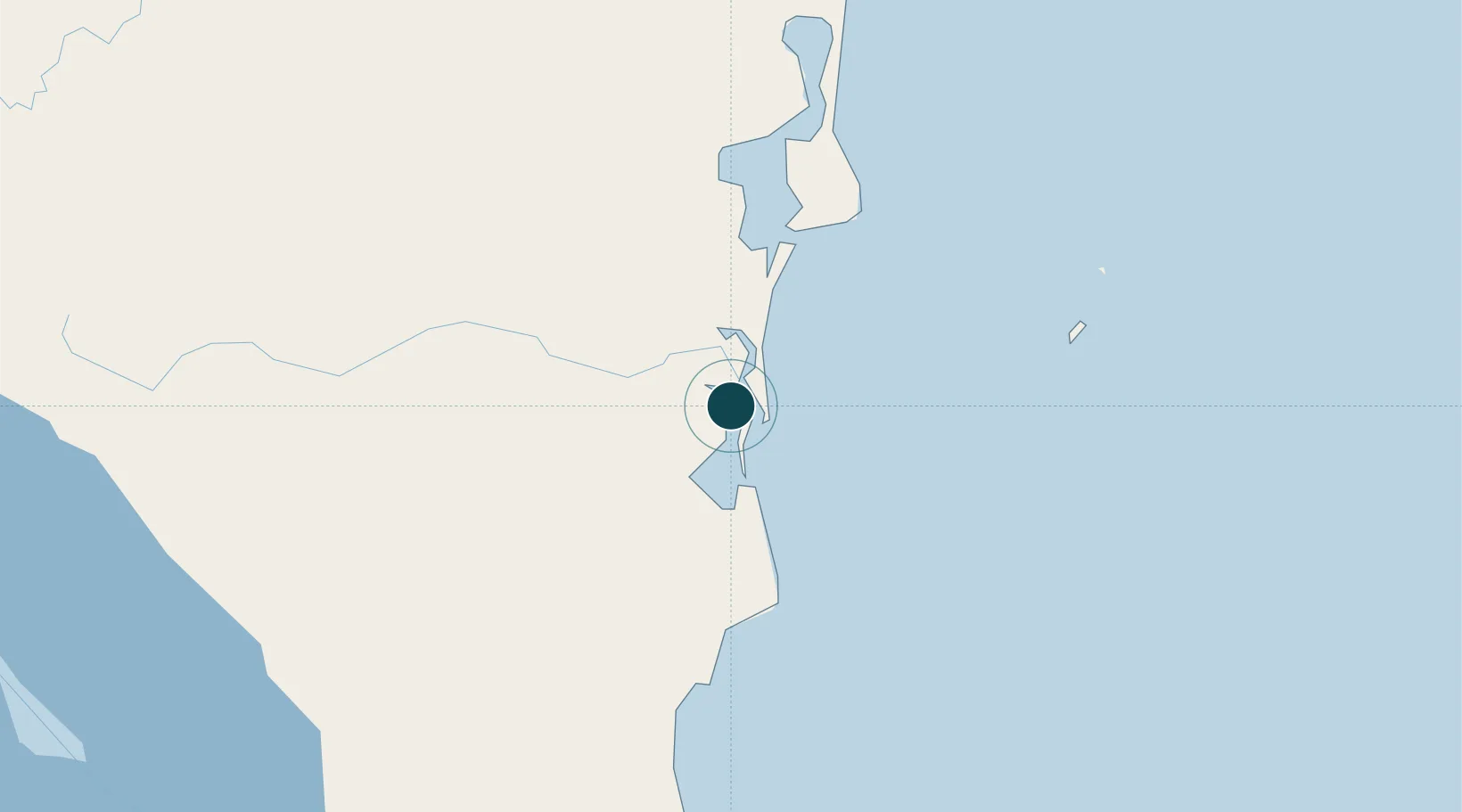
Location
Nearby Logistics Neighbours
Ports
- 1El Bluff6 km
- 2Puerto Cabezas226 km
- 3San Andres Island231 km
- 4Puerto Moin236 km
- 5Puerto Limon240 km
Cities
- 1Rama53 km
- 2Puerto Isabel151 km
- 3Libertad-Chontales156 km
- 4Cutris163 km
- 5Horluetas/Sarapiqui173 km
Airports
- 1Bluefields Airport4 km
- 2Corn Island Airport77 km
- 3Barra del Colorado Airport140 km
- 4Los Chiles Airport151 km
- 5Aerotortuguero Airport178 km
Trade Zones
- 1CR Green Valley Business and Technology Park152 km
- 2FreeHold Free Zone215 km
- 3AAA Top Talent Free Trade Zone225 km
- 4Activa Industrial Park228 km
- 5Global Park Free Zone230 km
DatabookThe Record of Consolidated Knowledge
Nicaragua beyond logistics?