Transport Functions
Multimodal
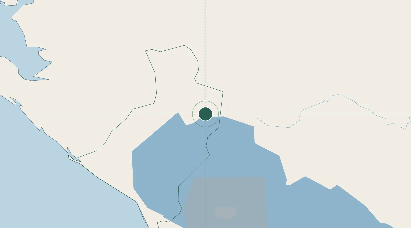
Hub Profile
Place type
Provincial seat
Region
León Department
Population
1,446
Time zone
America/Managua
Elevation
122 m
Location
Nearby Logistics Neighbours
Cities
- 1San Benito (San Francisco Libre)19 km
- 2El Sauce26 km
- 3Mina el Limon40 km
- 4Las Maderas48 km
- 5San Benito (Tipitapa)55 km
Ports
- 1Puerto Sandino74 km
- 2Corinto91 km
- 3Puerto De Hencan140 km
- 4La Union173 km
- 5Bluefields295 km
Airports
- 1Augusto C. Sandino (Managua) International Airport68 km
- 2Omtepe Airport151 km
- 3Toncontín Airport176 km
- 4Palmerola International Airport230 km
- 5Upala Airport251 km
Trade Zones
DatabookThe Record of Consolidated Knowledge
Nicaragua beyond logistics?