Transport Functions
Port
Postal
Hub Profile
Place type
Provincial seat
Region
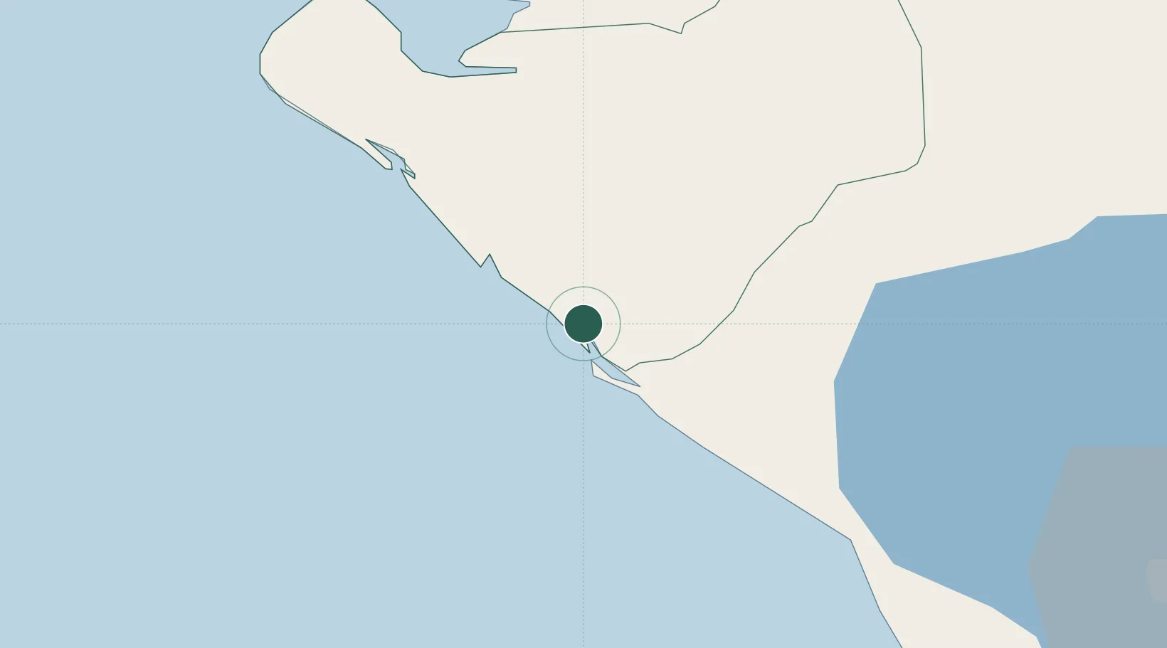
Chinandega Department
Population
19,183
Time zone
America/Managua
Elevation
9 m
Logistics facilities
10
Location
Nearby Logistics Neighbours
Cities
- 1El Viejo15 km
- 2Mina el Limon55 km
- 3Puerto Sandino61 km
- 4Potosí62 km
- 5Monjarás77 km
Ports
- 1Puerto Sandino60 km
- 2Puerto De Hencan101 km
- 3La Union114 km
- 4Acajutla313 km
- 5Tela363 km
Airports
DatabookThe Record of Consolidated Knowledge
Nicaragua beyond logistics?