Export Processing Zone · Nicaragua

AJ Fernández Cigars, SA Active
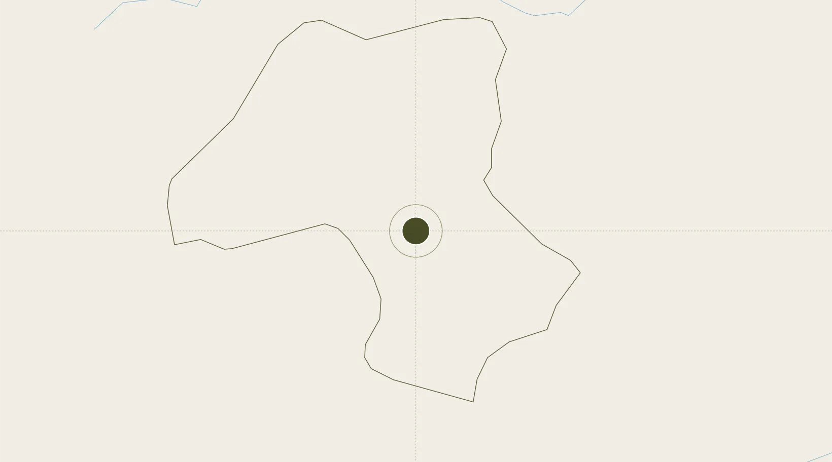
13.1111°, -86.3517°
1 ha
Zone area
112.6 km
Nearest port
109.6 km
Nearest airport

Gateway access

Nearest neighbours — logibook spatial index (haversine) over the source coordinates

Zone profile

Zone type
Export Processing Zone
Open Zone Map
Region
Estelí
Open Zone Map
Status
Active
Open Zone Map
Management
Private
Open Zone Map
Operator
AJ Fernández Cigars Co.
Open Zone Map
Legal framework
The Free Trade Zone Law - Law 917
Open Zone Map

Location

Location of ozm-2915
Natural Earth 10m (public domain) · Estelí · ozm-2915 · 13.11, -86.35GoogleOSMYandex

Nearby Logistics Neighbours

Ports
  1. 1Puerto Sandino113 km
  2. 2Corinto113 km
  3. 3Puerto De Hencan123 km
  4. 4La Union162 km
  5. 5La Ceiba301 km
Nearest neighbours — logibook spatial index (haversine) over the source coordinates
Airports
  1. 1Augusto C. Sandino (Managua) International Airport110 km
  2. 2Toncontín Airport141 km
  3. 3Omtepe Airport190 km
  4. 4Palmerola International Airport197 km
  5. 5Upala Airport286 km
Nearest neighbours — logibook spatial index (haversine) over the source coordinates
Cities
  1. 1El Sauce32 km
  2. 2El Jicaral44 km
  3. 3Totogalpa53 km
  4. 4Mina el Limon58 km
  5. 5Ocotal60 km
Nearest neighbours — logibook spatial index (haversine) over the source coordinates
Trade Zones
  1. 1IAMSA Nicaragua,SA38 km
  2. 2Hortalizas Hidropónicas de Alta Tecnología, SA (HORTITECH)39 km
  3. 3ZEDE Orquídea64 km
  4. 4Arnecom Nicaragua Operadora de Zonas Francas, SA93 km
  5. 5Camarones de Nicaragua, SA97 km
Nearest neighbours — logibook spatial index (haversine) over the source coordinates
DatabookThe Record of Consolidated Knowledge
Nicaragua beyond logistics?
Browse databook

All Sources

Trade ZonesOpen Zone Map
CC BY
Portsthe NGA World Port Index
Public domain (US gov)
AirportsOurAirports
Public domain
LocationsUN/LOCODE
UN/LOCODE — free
← Nicaragua trade zones