Channel & Berth Profile
Pilotage, Tugs & Services
Pilotage compulsoryYES
Tug assistanceYES
Shore powerNO
Potable waterNO
Diesel bunkersNO
Facilities & Capabilities
ContainerNO
Ro-RoNO
Liquid bulkNO
Dry bulkNO
Oil terminalYES
Break bulkNO
Dry dock—
Repairs—
BunkeringYES
Rail linkNO
Dangerous cargo—
ISPS security—
Harbour Specifications
Harbour size
Very Small
Harbour type
Open Roadstead
Shelter
Poor
Water body
North Pacific Ocean
Tidal range
0.9 m
Overhead limit
No
Pilotage
Yes
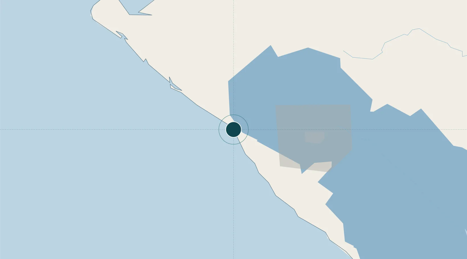
Location
Nearby Logistics Neighbours
Ports
- 1Corinto55 km
- 2Puerto De Hencan154 km
- 3La Union172 km
- 4Puntarenas323 km
- 5Bluefields329 km
Cities
- 1San Rafael del Sur51 km
- 2Masachapa52 km
- 3Corinto60 km
- 4Mina el Limon63 km
- 5San Benito (San Francisco Libre)68 km
Airports
- 1Augusto C. Sandino (Managua) International Airport65 km
- 2Omtepe Airport137 km
- 3Toncontín Airport214 km
- 4Daniel Oduber Quirós International Airport221 km
- 5Upala Airport239 km
DatabookThe Record of Consolidated Knowledge
Nicaragua beyond logistics?