Seaport · Honduras
Puerto De HencanHNSLO
13.4000°, -87.4500°
7.9 m
Channel depth
1
Container terminals
23.2
Port liner connectivity
Channel & Berth Profile
Pilotage, Tugs & Services
Pilotage compulsoryNO
Pilotage availableYES
Local assistanceYES
Tug assistanceYES
Potable waterYES
Diesel bunkersNO
MedicalYES
Garbage disposalNO
Facilities & Capabilities
Container—
Ro-Ro—
Liquid bulk—
Dry bulk—
Oil terminal—
Break bulk—
Dry dock—
RepairsNO
BunkeringNO
Rail link—
Dangerous cargo—
ISPS security—
Harbour Specifications
Harbour size
Very Small
Harbour type
River (Natural)
Shelter
Fair
Water body
North Pacific Ocean
Tidal range
2 m
Pilotage
No
Liner Connectivity
23.2
PLSCI
Port Liner Shipping Connectivity Index for Puerto De Hencan, as published by UNCTAD for the latest available quarter. Higher values indicate stronger scheduled liner-shipping integration.
Shown relative to the highest per-port PLSCI in the dataset (1,657.9).
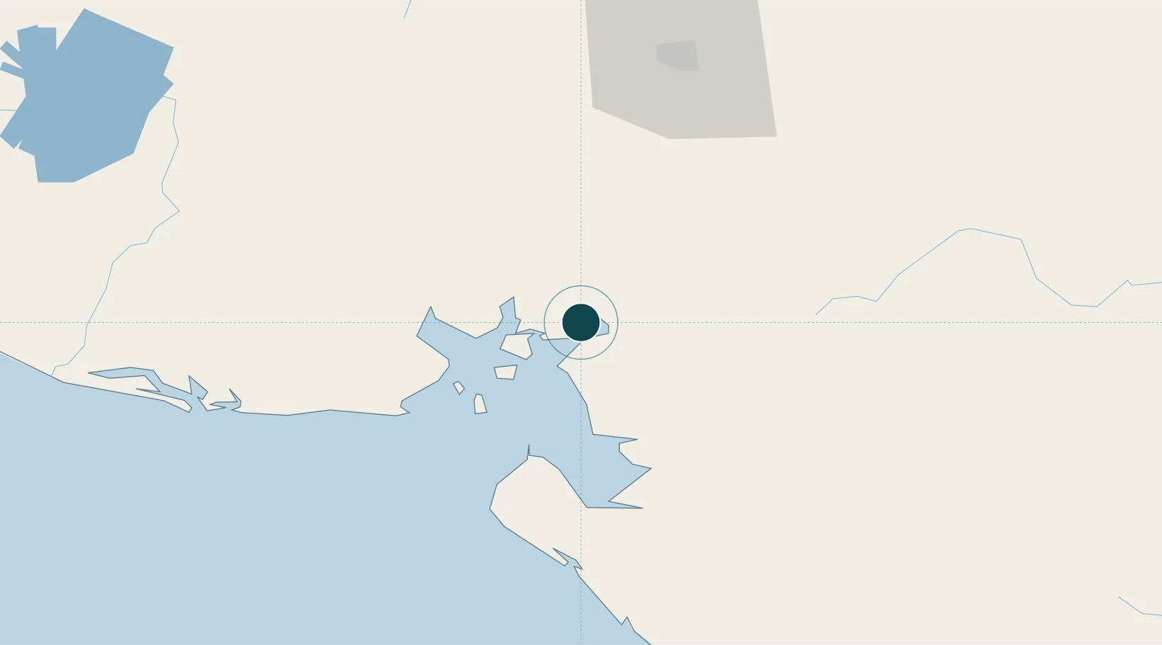
Location
Container Terminals · 1
ENP SAN LORENZO
ENPSL EMPRESA NACIONAL PORTUARIA HONDURAS, C.A. (ENP)
Nearby Logistics Neighbours
Ports
- 1La Union42 km
- 2Corinto107 km
- 3Puerto Sandino154 km
- 4Acajutla262 km
- 5Tela265 km
Airports
Trade Zones
- 1ZEDE Orquídea71 km
- 2ZIP Amaratecas Free Zone89 km
- 3Agroindustrias Chinandega, SA93 km
- 4Camarones de Nicaragua, SA105 km
- 5AJ Fernández Cigars, SA123 km
DatabookThe Record of Consolidated Knowledge
Honduras beyond logistics?