Seaport · El Salvador
La UnionSVLUN
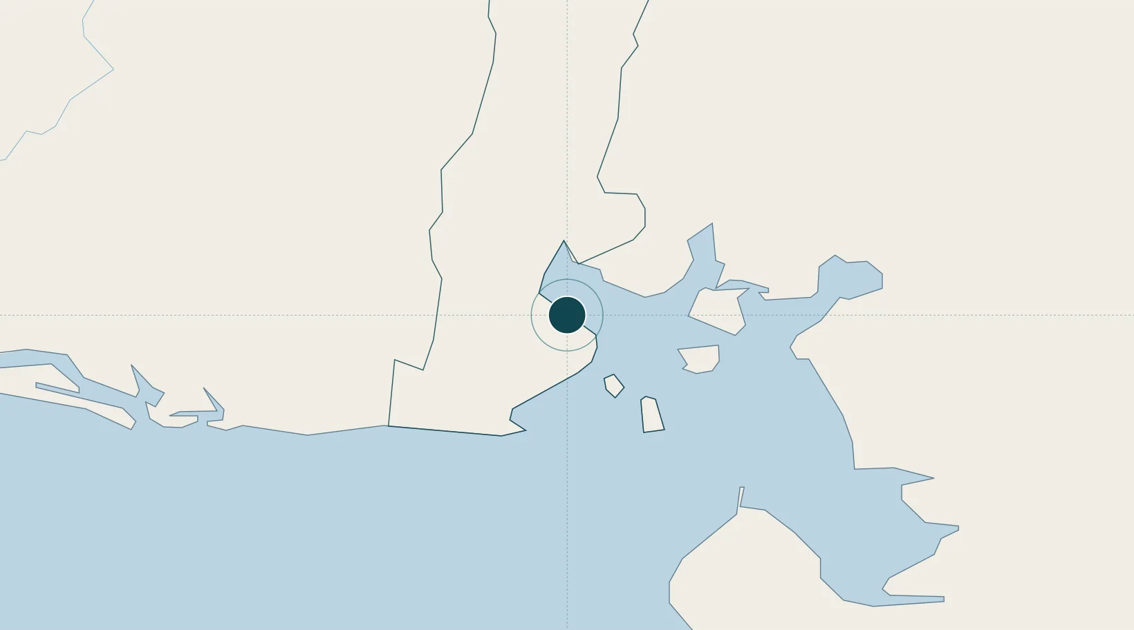
13.3333°, -87.8333°
10.0 m
Channel depth
1
Container terminals
21.9
Port liner connectivity
Channel & Berth Profile
Pilotage, Tugs & Services
Pilotage compulsoryNO
Pilotage availableYES
Pilotage advisableYES
Local assistanceYES
Tug assistanceYES
Salvage tugsNO
Potable waterYES
Diesel bunkersYES
MedicalYES
Garbage disposalYES
Facilities & Capabilities
Container—
Ro-Ro—
Liquid bulk—
Dry bulk—
Oil terminal—
Break bulk—
Dry dock—
RepairsNO
BunkeringYES
Rail linkYES
Dangerous cargo—
ISPS security—
Harbour Specifications
Harbour size
Very Small
Harbour type
Coastal (Natural)
Shelter
Good
Water body
North Pacific Ocean
Tidal range
2 m
Overhead limit
Yes
Pilotage
No
Liner Connectivity
21.9
PLSCI
Port Liner Shipping Connectivity Index for La Union, as published by UNCTAD for the latest available quarter. Higher values indicate stronger scheduled liner-shipping integration.
Shown relative to the highest per-port PLSCI in the dataset (1,657.9).
Location
Container Terminals · 1
PUERTO LA UNION
PULUN COMISION EJECUTIVA PORTUARIA AUTONOMA (CEPA)
Nearby Logistics Neighbours
Ports
- 1Puerto De Hencan42 km
- 2Corinto119 km
- 3Puerto Sandino172 km
- 4Acajutla222 km
- 5Tela276 km
Cities
- 1Cutuco3 km
- 2San Lorenzo44 km
- 3Potosí52 km
- 4Monjarás53 km
- 5Chinameca59 km
Airports
Trade Zones
- 1ZIP Amaratecas Free Zone109 km
- 2Agroindustrias Chinandega, SA110 km
- 3ZEDE Orquídea114 km
- 4Camarones de Nicaragua, SA123 km
- 5Zona Franca Internacional141 km
DatabookThe Record of Consolidated Knowledge
El Salvador beyond logistics?