Large airport · El Salvador
El Salvador International Airport Saint Óscar Arnulfo Romero y GaldámezMSLP
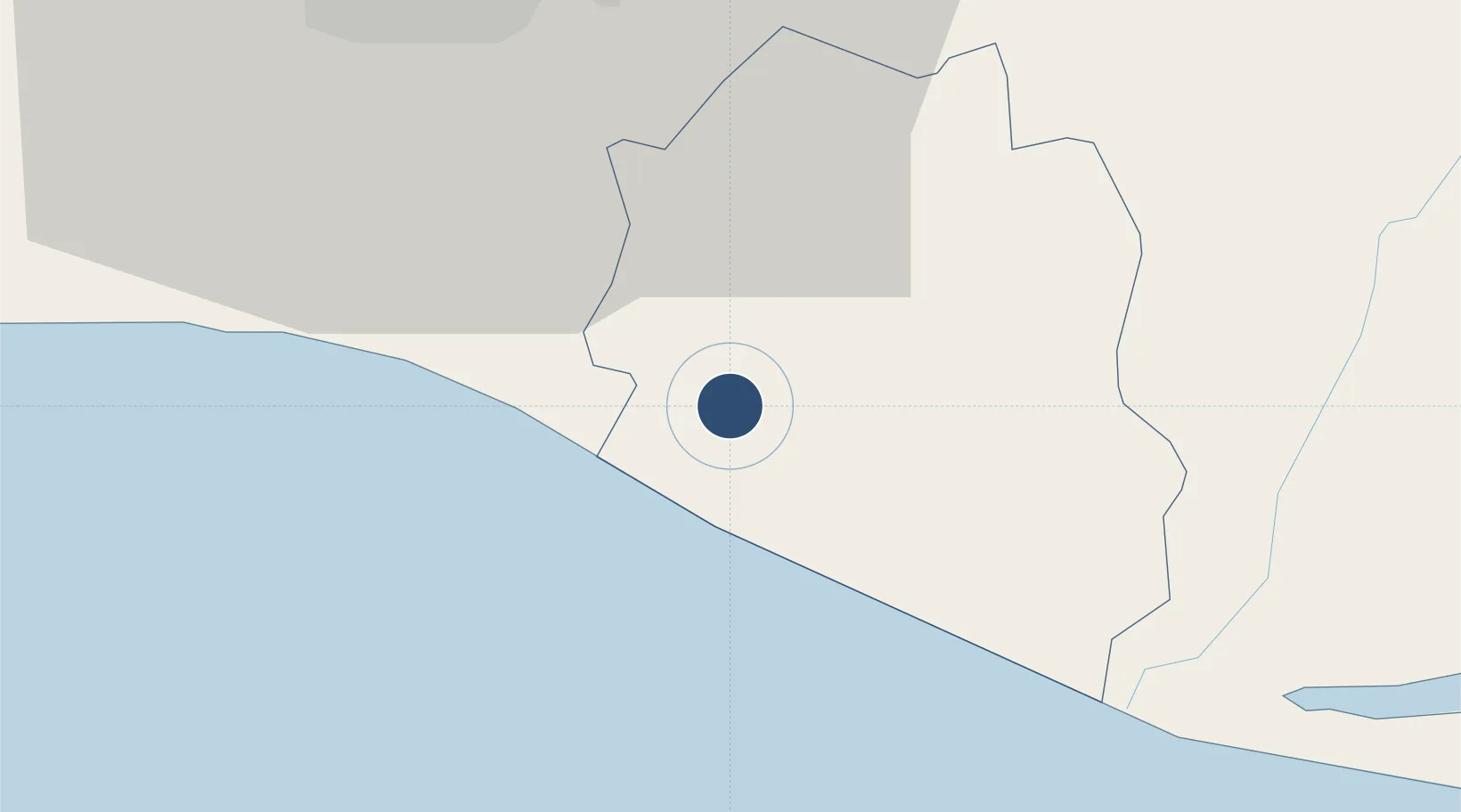
13.4445°, -89.0558°
10,500 ft
Longest runway
1
Runways
101 ft
Elevation
Runway & Layout

Radio Frequencies
ATIS
127.6 MHz
TWR
118 MHz
GND
121.7 MHz
CLD
121.25 MHz
CLNC DEL
APP
119.9 MHz
RDO
126.9 MHz
Navaids
CAT VOR-DME El Salvador 117.50 MHz
LAN NDB Amatecampo 331 kHz
Runways · 1
| Runway | Dimensions | Surface | True heading | Lit |
|---|---|---|---|---|
| 07/25 | 10,500 × 148ft | Asphalt | 070° | ✓ |
Airport Specifications
IATA code
SAL
ICAO code
MSLP
Airport class
Large airport
Scheduled service
Yes
Runway surface
Asphalt
Served city
San Salvador (San Luis Talpa)
Location
Nearby Logistics Neighbours
Airports
- 1Ilopango International Airport29 km
- 2Palmerola International Airport187 km
- 3San José Airport200 km
- 4La Aurora International Airport203 km
- 5Toncontín Airport210 km
Cities
- 1Zacatecoluca21 km
- 2San Marcos23 km
- 3La Libertad29 km
- 4Ilopango29 km
- 5Nuevo Cuscatlan30 km
Ports
- 1Acajutla89 km
- 2La Union133 km
- 3Puerto De Hencan174 km
- 4Puerto Quetzal196 km
- 5Corinto231 km
Trade Zones
- 1Zona Franca Internacional14 km
- 2Miramar Free Zone16 km
- 3Zona Franca Santo Tomás25 km
- 4San Marcos Free Zone28 km
- 5Zona Franca San Bartolo29 km
DatabookThe Record of Consolidated Knowledge
El Salvador beyond logistics?