Large airport · Honduras
Palmerola International AirportMHSC
14.3824°, -87.6212°
8,008 ft
Longest runway
1
Runways
2,061 ft
Elevation
Runway & Layout

Radio Frequencies
TWR
118.9 MHz
GND
121.9 MHz
APP
125.8 MHz
AAS
125.8 MHz
VFR ADVSY SVC
ACC
89.1 MHz
CENAMER ACC
MISC
42.5 MHz
SKYWATCH AFFS
OPS
51.5 MHz
WARRIOR OPS
PMSV
34.06 MHz
PMSV METRO
POST
33.13 MHz
COMD POST
PTD
135.5 MHz
RDO
126.7 MHz
TEGUCIGALPA RDO
Runways · 1
| Runway | Dimensions | Surface | True heading | Lit |
|---|---|---|---|---|
| 17/35 | 8,008 × 148ft | Asphalt | 170° | ✓ |
Airport Specifications
IATA code
XPL
ICAO code
MHPR
Airport class
Large airport
Scheduled service
Yes
Runway surface
Asphalt
Served city
Palmerola
Location
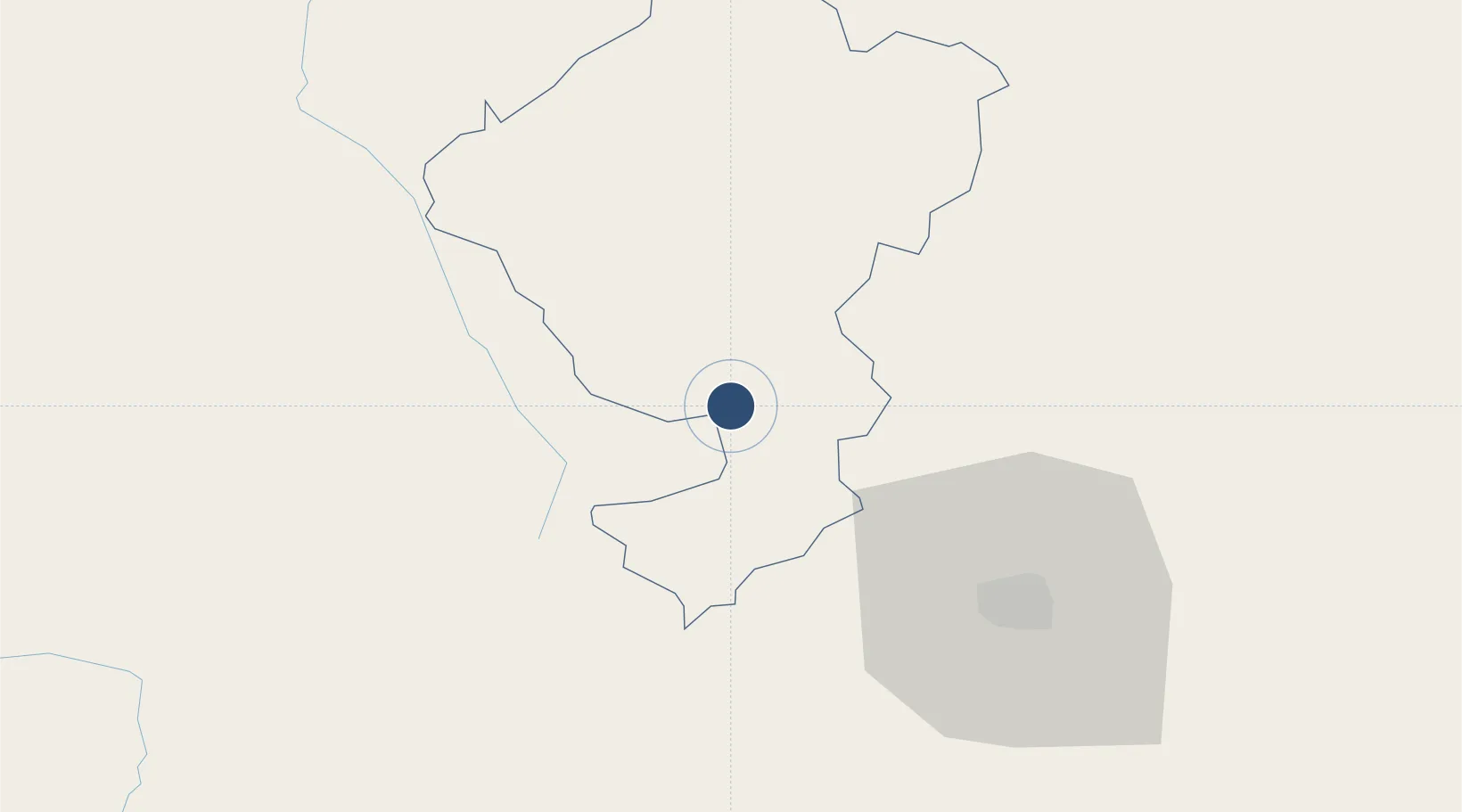
Nearby Logistics Neighbours
Airports
- 1Toncontín Airport56 km
- 2Ramón Villeda Morales International Airport123 km
- 3Tela Airport156 km
- 4Golosón International Airport172 km
- 5Ilopango International Airport179 km
Cities
- 1Tamara40 km
- 2Pimienta54 km
- 3El Tizatillo65 km
- 4San Ignacio70 km
- 5Santa Cruz de Yojoa73 km
Ports
- 1Puerto De Hencan111 km
- 2La Union119 km
- 3Tela157 km
- 4Puerto Cortes165 km
- 5La Ceiba179 km
Trade Zones
- 1ZIP Amaratecas Free Zone37 km
- 2Villanueva Industrial112 km
- 3ZIP Buena Vista115 km
- 4ZIP Continental121 km
- 5ZIP El Porvenir Free Zone121 km
DatabookThe Record of Consolidated Knowledge
Honduras beyond logistics?