Free Trade Zone · Nicaragua
IAMSA Nicaragua,SA Active
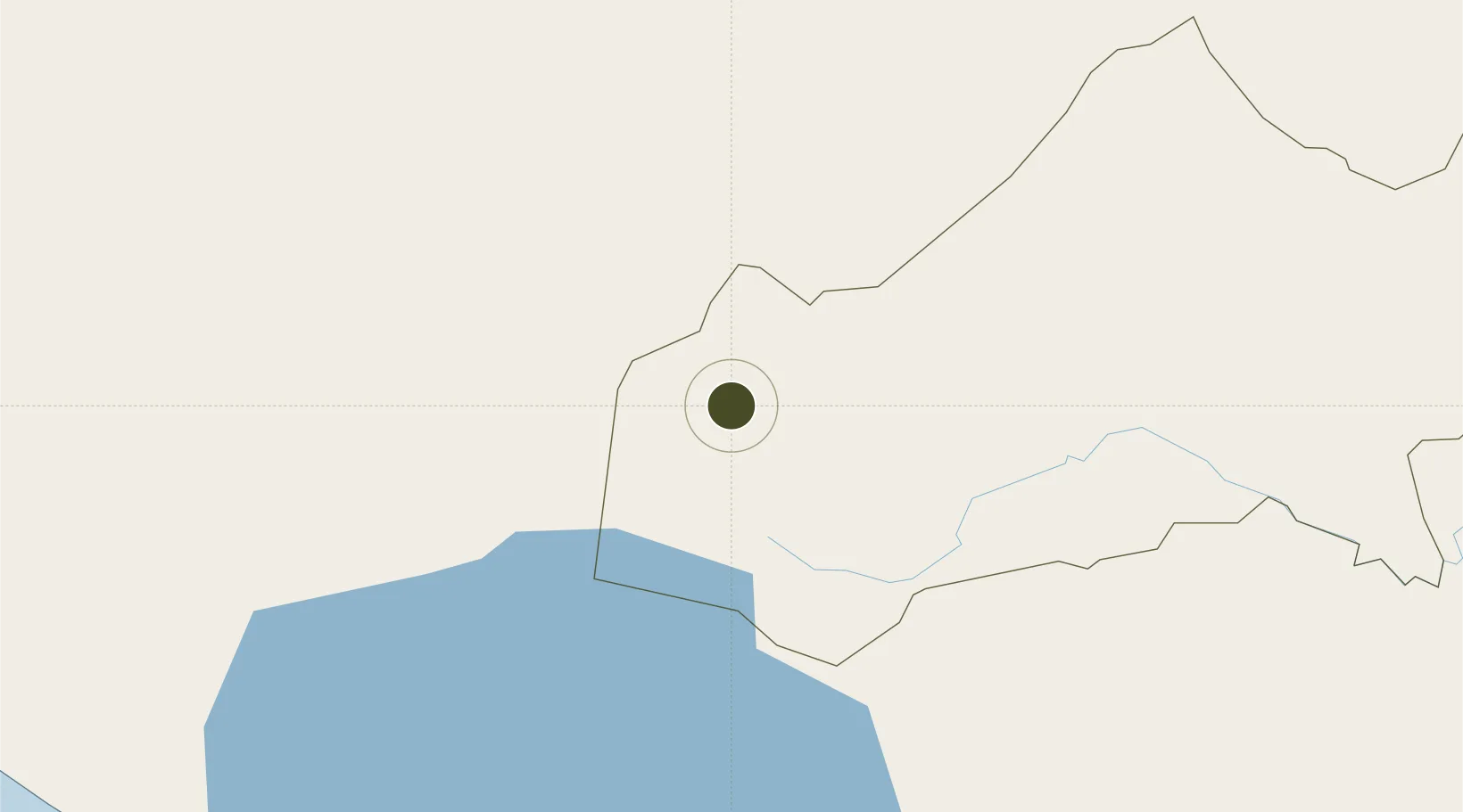
12.8623°, -86.1096°
27 ha
Zone area
103.9 km
Nearest port
80.4 km
Nearest airport
Gateway access
Zone profile
Zone type
Free Trade Zone
Region
Matagalpa
Status
Active
Management
Private
Operator
IAMSA Group
Legal framework
The Free Trade Zone Law – Law 917
Location
Nearby Logistics Neighbours
Ports
- 1Puerto Sandino104 km
- 2Corinto122 km
- 3Puerto De Hencan157 km
- 4La Union194 km
- 5Bluefields273 km
Airports
- 1Augusto C. Sandino (Managua) International Airport80 km
- 2Omtepe Airport155 km
- 3Toncontín Airport179 km
- 4Palmerola International Airport235 km
- 5Upala Airport249 km
Cities
- 1El Jicaral32 km
- 2San Benito (San Francisco Libre)38 km
- 3El Tuma45 km
- 4El Sauce46 km
- 5Las Maderas48 km
DatabookThe Record of Consolidated Knowledge
Nicaragua beyond logistics?