Runway & Layout

Airport Specifications
ICAO code
MNOM
Airport class
Small airport
Scheduled service
Yes
Served city
Omtepe Island
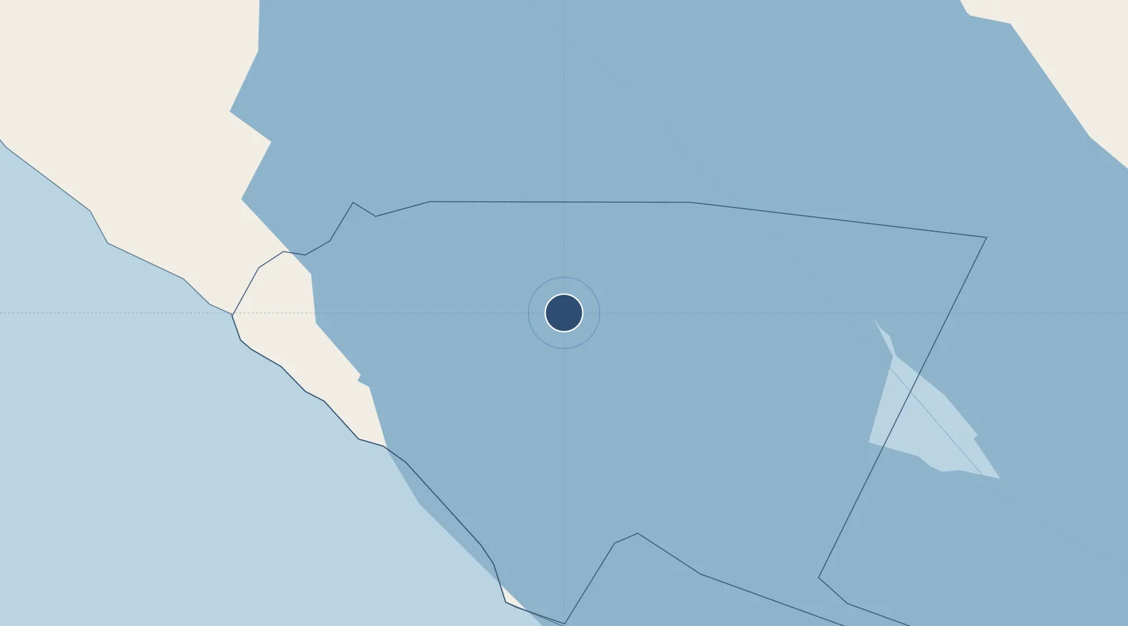
Location
Nearby Logistics Neighbours
Airports
Cities
- 1Tola27 km
- 2Santa Cecilia57 km
- 3Jinotepe65 km
- 4Diriamba68 km
- 5Juigalpa70 km
Ports
- 1Puerto Sandino137 km
- 2Corinto192 km
- 3Puntarenas196 km
- 4Puerto Caldera209 km
- 5Bluefields220 km
DatabookThe Record of Consolidated Knowledge
Nicaragua beyond logistics?