Seaport · Nicaragua

CorintoNICIO

12.4833°, -87.1667°
13.4 m
Channel depth
1
Container terminals
65.1
Port liner connectivity
Corinto is also a UN/LOCODE logistics hub →

Channel & Berth Profile

SEA LEVEL (CD)CHANNEL BEDAnchorage · 8.0 mCargo pier · 12.5 mOil terminal · 12.7 mChannel · 13.4 m
NGA World Port Index

Pilotage, Tugs & Services

Pilotage compulsoryYES
Pilotage availableYES
Tug assistanceYES
Potable waterYES
Diesel bunkersNO
NGA World Port Index

Facilities & Capabilities

ContainerYES
Ro-RoYES
Liquid bulkYES
Dry bulkYES
Oil terminalNO
Break bulkYES
Dry dock
RepairsNO
BunkeringNO
Rail linkNO
Dangerous cargo
ISPS security
NGA World Port Index

Harbour Specifications

Harbour size
Small
NGA World Port Index
Harbour type
River (Natural)
NGA World Port Index
Shelter
Good
NGA World Port Index
Water body
North Pacific Ocean
NGA World Port Index
Tidal range
0.9 m
NGA World Port Index
Overhead limit
No
NGA World Port Index
Pilotage
Yes
NGA World Port Index

Liner Connectivity

65.1
PLSCI

Port Liner Shipping Connectivity Index for Corinto, as published by UNCTAD for the latest available quarter. Higher values indicate stronger scheduled liner-shipping integration.

Shown relative to the highest per-port PLSCI in the dataset (1,657.9).
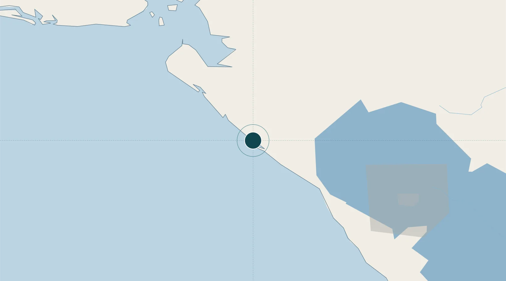
UNCTAD · Port Liner Shipping Connectivity Index

Location

Location of NICIO
Natural Earth 10m (public domain) · Chinandega · NICIO · 12.48, -87.17GoogleOSMYandex

Container Terminals · 1

PORT OF CORINTO
EPN EMPRESA PORTUARIA NACIONAL
SMDG Terminal Code List

Nearby Logistics Neighbours

Ports
  1. 1Puerto Sandino55 km
  2. 2Puerto De Hencan107 km
  3. 3La Union119 km
  4. 4Acajutla317 km
  5. 5Tela368 km
Nearest neighbours — logibook spatial index (haversine) over the source coordinates
Cities
  1. 1El Viejo20 km
  2. 2Mina el Limon56 km
  3. 3Puerto Sandino56 km
  4. 4Potosí68 km
  5. 5El Sauce82 km
Nearest neighbours — logibook spatial index (haversine) over the source coordinates
Airports
  1. 1Augusto C. Sandino (Managua) International Airport115 km
  2. 2Toncontín Airport176 km
  3. 3Omtepe Airport192 km
  4. 4Palmerola International Airport217 km
  5. 5El Salvador International Airport Saint Óscar Arnulfo Romero y Galdámez231 km
Nearest neighbours — logibook spatial index (haversine) over the source coordinates
Trade Zones
  1. 1Agroindustrias Chinandega, SA16 km
  2. 2Camarones de Nicaragua, SA16 km
  3. 3Arnecom Nicaragua Operadora de Zonas Francas, SA33 km
  4. 4Zona Franca Saratoga94 km
  5. 5Zona Franca Industrial Tecnológica, SA, (ZOFITEC) - Extension95 km
Nearest neighbours — logibook spatial index (haversine) over the source coordinates
DatabookThe Record of Consolidated Knowledge
Nicaragua beyond logistics?
Browse databook

All Sources

Portsthe NGA World Port Index
Public domain (US gov)
Logistics performanceUNCTAD
CC BY 3.0 IGO
Portsthe SMDG Terminal Code List
UN/LOCODE — free, attribution
AirportsOurAirports
Public domain
LocationsUN/LOCODE
UN/LOCODE — free
Trade Zonesthe World Bank SEZ database
CC BY 4.0
Trade ZonesOpen Zone Map
CC BY
← Nicaragua ports