Transport Functions
Multimodal
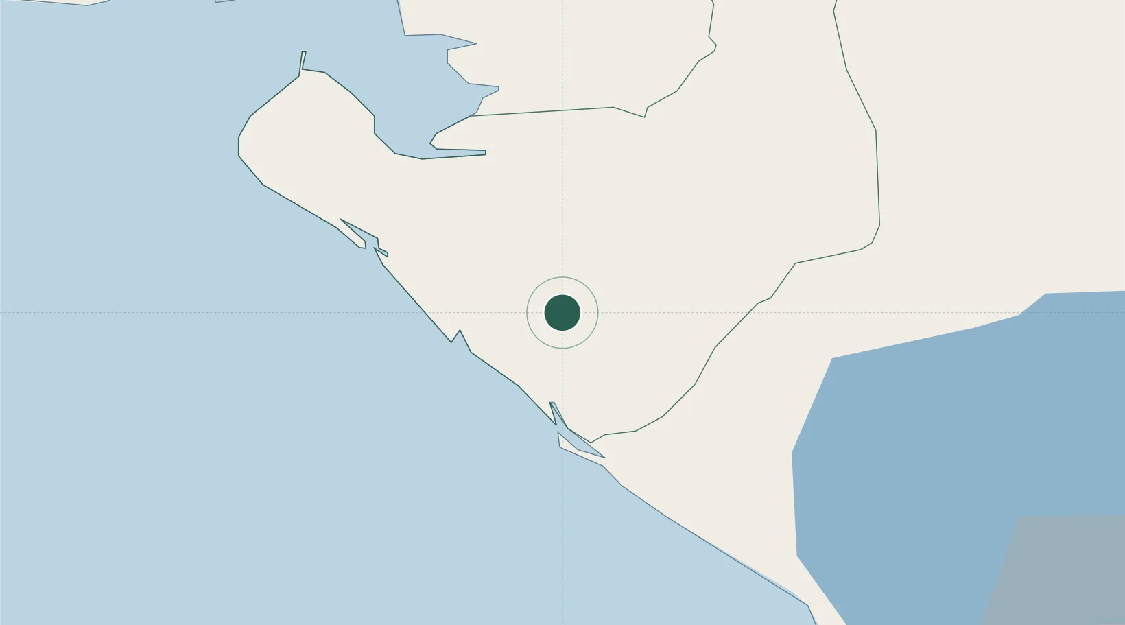
Hub Profile
Place type
Provincial seat
Region
Chinandega Department
Population
53,504
Time zone
America/Managua
Elevation
49 m
Location
Nearby Logistics Neighbours
Cities
- 1Corinto15 km
- 2Mina el Limon48 km
- 3Potosí52 km
- 4Monjarás63 km
- 5Puerto Sandino70 km
Ports
- 1Corinto20 km
- 2Puerto Sandino69 km
- 3Puerto De Hencan87 km
- 4La Union104 km
- 5Acajutla310 km
Airports
Trade Zones
DatabookThe Record of Consolidated Knowledge
Nicaragua beyond logistics?