Medium airport · Honduras

Toncontín AirportMHTG
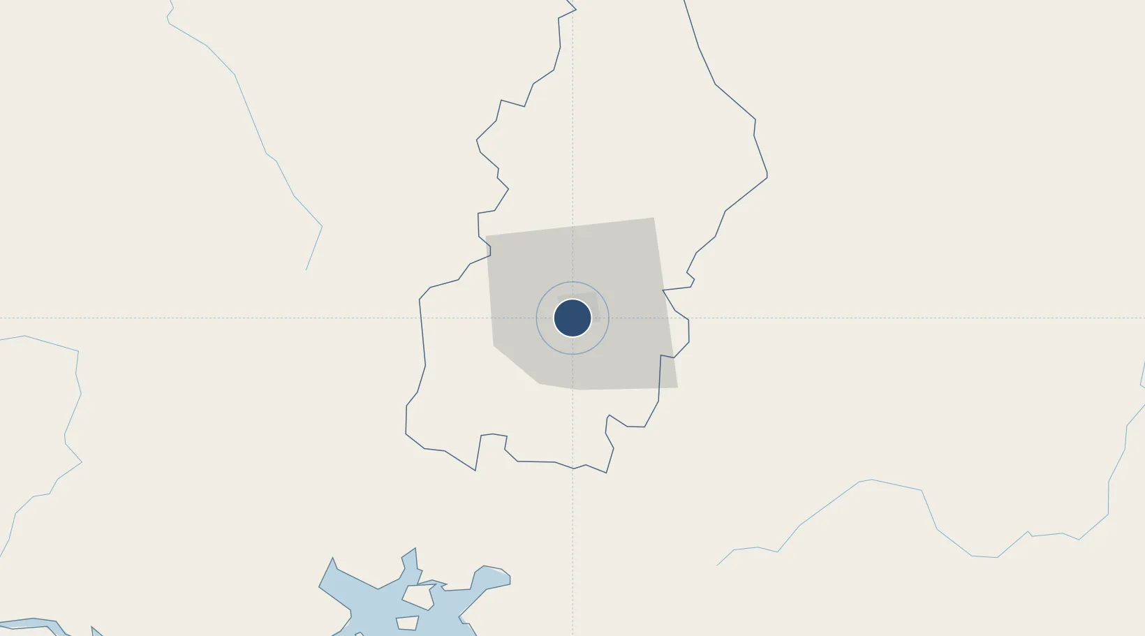
14.0609°, -87.2172°
6,112 ft
Longest runway
1
Runways
3,294 ft
Elevation

Runway & Layout

Toncontín Airport runway & taxiway layout
Runway & taxiway layout — OpenStreetMap (ODbL) / OurAirports

Radio Frequencies

ATIS
112.3 MHz
TWR
118.7 MHz
GND
121.9 MHz
APP
119.1 MHz
TONCONTIN APP
RDO
126.7 MHz
TEGUCIGALPA RDO
OurAirports

Navaids

PIC NDB Picacho 334 kHz
TNT VOR-DME Toncontin 112.30 MHz
TNT NDB Toncontin 405 kHz
OurAirports

Runways · 1

RunwayDimensions SurfaceTrue headingLit
02/20 6,112 × 148ft Asphalt 019°
OurAirports

Airport Specifications

IATA code
TGU
OurAirports
ICAO code
MHTG
OurAirports
Airport class
Medium airport
OurAirports
Scheduled service
Yes
OurAirports
Runway surface
Asphalt
OurAirports
Served city
Tegucigalpa
OurAirports

Location

Location of MHTG
Natural Earth 10m (public domain) · Francisco Morazán · MHTG · 14.06, -87.22GoogleOSMYandex

Nearby Logistics Neighbours

Airports
  1. 1Palmerola International Airport56 km
  2. 2Ramón Villeda Morales International Airport172 km
  3. 3Golosón International Airport191 km
  4. 4Tela Airport193 km
  5. 5Ilopango International Airport209 km
Nearest neighbours — logibook spatial index (haversine) over the source coordinates
Cities
  1. 1El Tizatillo9 km
  2. 2Tamara16 km
  3. 3El Zamorano20 km
  4. 4La Paz53 km
  5. 5San Ignacio68 km
Nearest neighbours — logibook spatial index (haversine) over the source coordinates
Ports
  1. 1Puerto De Hencan78 km
  2. 2La Union105 km
  3. 3Corinto176 km
  4. 4Tela193 km
  5. 5La Ceiba197 km
Nearest neighbours — logibook spatial index (haversine) over the source coordinates
Trade Zones
  1. 1ZIP Amaratecas Free Zone19 km
  2. 2ZEDE Orquídea78 km
  3. 3AJ Fernández Cigars, SA141 km
  4. 4Agroindustrias Chinandega, SA160 km
  5. 5Villanueva Industrial163 km
Nearest neighbours — logibook spatial index (haversine) over the source coordinates
DatabookThe Record of Consolidated Knowledge
Honduras beyond logistics?
Browse databook

All Sources

AirportsOurAirports
Public domain
Portsthe NGA World Port Index
Public domain (US gov)
LocationsUN/LOCODE
UN/LOCODE — free
Trade Zonesthe World Bank SEZ database
CC BY 4.0
Trade ZonesOpen Zone Map
CC BY
InfrastructureOpenStreetMap
ODbL 1.0
← Honduras airports