UN/LOCODE hub · Nicaragua
NIELL

El Sauce

12.8833°, -86.5333°
11,898
Population
1
Transport functions

Transport Functions

Multimodal
UN/LOCODE

Hub Profile

Place type
Provincial seat
GeoNames
Region
León Department
GeoNames
Population
11,898
GeoNames
Time zone
America/Managua
GeoNames
Elevation
173 m
GeoNames

Location

Location of NIELL
Natural Earth 10m (public domain) · León Department · NIELL · 12.88, -86.53GoogleOSMYandex

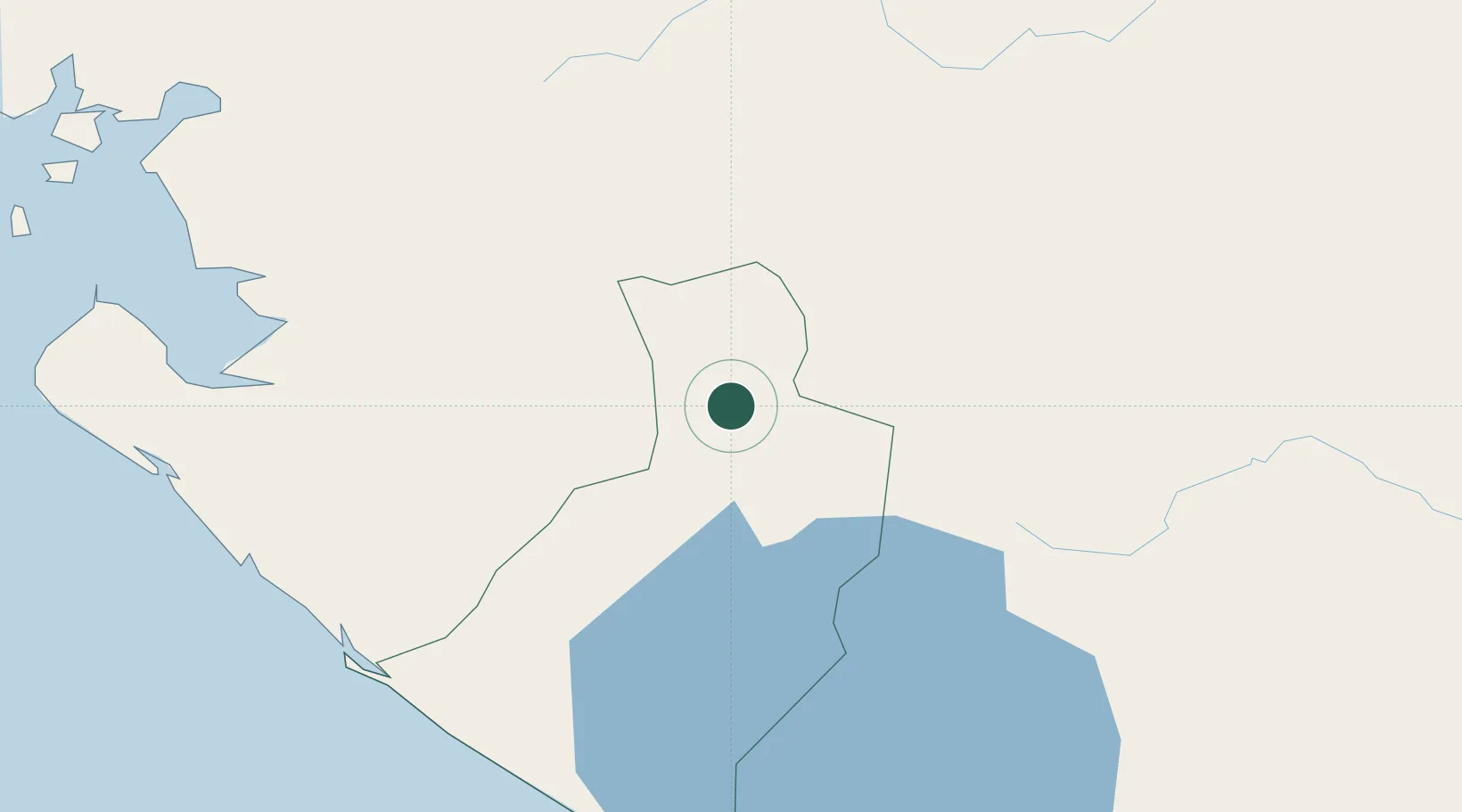
Nearby Logistics Neighbours

Cities
  1. 1El Jicaral26 km
  2. 2Mina el Limon26 km
  3. 3San Benito (San Francisco Libre)44 km
  4. 4El Viejo73 km
  5. 5Las Maderas74 km
Nearest neighbours — logibook spatial index (haversine) over the source coordinates
Ports
  1. 1Corinto82 km
  2. 2Puerto Sandino82 km
  3. 3Puerto De Hencan115 km
  4. 4La Union149 km
  5. 5Bluefields317 km
Nearest neighbours — logibook spatial index (haversine) over the source coordinates
Airports
  1. 1Augusto C. Sandino (Managua) International Airport92 km
  2. 2Toncontín Airport150 km
  3. 3Omtepe Airport176 km
  4. 4Palmerola International Airport204 km
  5. 5Upala Airport276 km
Nearest neighbours — logibook spatial index (haversine) over the source coordinates
Trade Zones
  1. 1AJ Fernández Cigars, SA32 km
  2. 2IAMSA Nicaragua,SA46 km
  3. 3Hortalizas Hidropónicas de Alta Tecnología, SA (HORTITECH)48 km
  4. 4Arnecom Nicaragua Operadora de Zonas Francas, SA60 km
  5. 5Camarones de Nicaragua, SA66 km
Nearest neighbours — logibook spatial index (haversine) over the source coordinates
DatabookThe Record of Consolidated Knowledge
Nicaragua beyond logistics?
Browse databook

All Sources

LocationsUN/LOCODE
UN/LOCODE — free
LocationsGeoNames
CC BY 4.0
Portsthe NGA World Port Index
Public domain (US gov)
AirportsOurAirports
Public domain
Trade Zonesthe World Bank SEZ database
CC BY 4.0
Trade ZonesOpen Zone Map
CC BY
← Nicaragua locations