UN/LOCODE hub · Nicaragua
NISBS

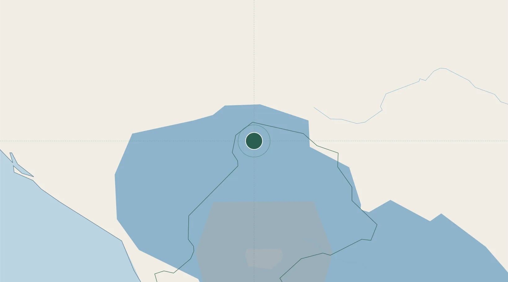
San Benito (San Francisco Libre)

12.5667°, -86.2833°
1
Transport functions

Transport Functions

Multimodal
UN/LOCODE

Hub Profile

Region
MN
GeoNames

Location

Location of NISBS
Natural Earth 10m (public domain) · MN · NISBS · 12.57, -86.28GoogleOSMYandex

Nearby Logistics Neighbours

Cities
  1. 1El Jicaral19 km
  2. 2Las Maderas31 km
  3. 3San Benito (Tipitapa)36 km
  4. 4El Sauce44 km
  5. 5Tipitapa45 km
Nearest neighbours — logibook spatial index (haversine) over the source coordinates
Ports
  1. 1Puerto Sandino68 km
  2. 2Corinto96 km
  3. 3Puerto De Hencan157 km
  4. 4La Union188 km
  5. 5Bluefields282 km
Nearest neighbours — logibook spatial index (haversine) over the source coordinates
Airports
  1. 1Augusto C. Sandino (Managua) International Airport49 km
  2. 2Omtepe Airport132 km
  3. 3Toncontín Airport195 km
  4. 4Upala Airport232 km
  5. 5Daniel Oduber Quirós International Airport234 km
Nearest neighbours — logibook spatial index (haversine) over the source coordinates
Trade Zones
  1. 1IAMSA Nicaragua,SA38 km
  2. 2Hortalizas Hidropónicas de Alta Tecnología, SA (HORTITECH)40 km
  3. 3Zona Franca Saratoga43 km
  4. 4Parques Industriales Zeta44 km
  5. 5Parque Industrial Portezuelo46 km
Nearest neighbours — logibook spatial index (haversine) over the source coordinates
DatabookThe Record of Consolidated Knowledge
Nicaragua beyond logistics?
Browse databook

All Sources

LocationsUN/LOCODE
UN/LOCODE — free
Portsthe NGA World Port Index
Public domain (US gov)
AirportsOurAirports
Public domain
Trade Zonesthe World Bank SEZ database
CC BY 4.0
Trade ZonesOpen Zone Map
CC BY
← Nicaragua locations