Free Trade Zone · Nicaragua

Arnecom Nicaragua Operadora de Zonas Francas, SA Active
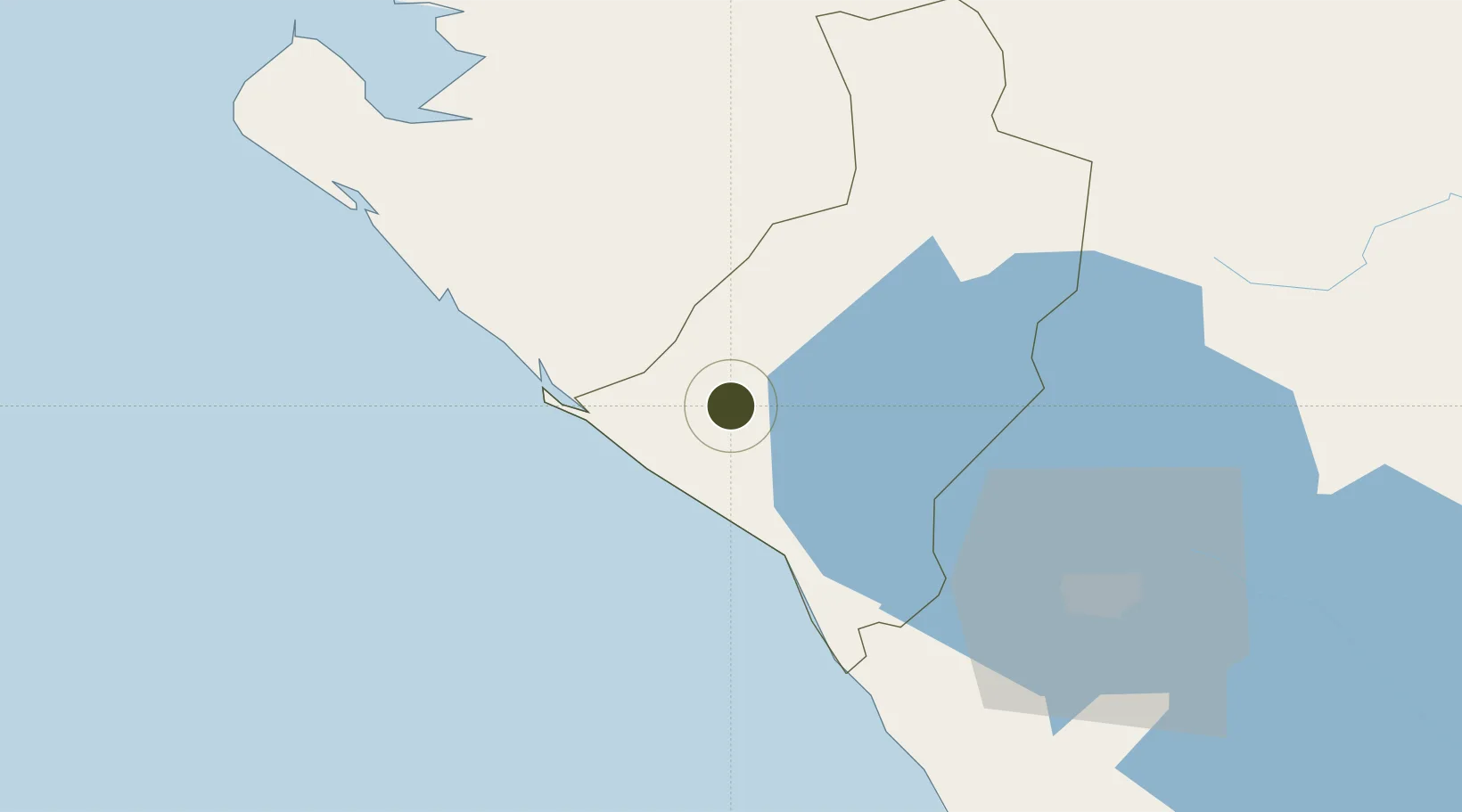
12.4445°, -86.8622°
5 ha
Zone area
30.8 km
Nearest port
82.6 km
Nearest airport

Gateway access

Nearest neighbours — logibook spatial index (haversine) over the source coordinates

Zone profile

Zone type
Free Trade Zone
Open Zone Map
Region
León
Open Zone Map
Status
Active
Open Zone Map
Management
Private
Open Zone Map
Operator
Yazaki Corporation
Open Zone Map
Legal framework
The Free Trade Zone Law – Law 917
Open Zone Map

Location

Location of ozm-2928
Natural Earth 10m (public domain) · León · ozm-2928 · 12.44, -86.86GoogleOSMYandex

Nearby Logistics Neighbours

Ports
  1. 1Puerto Sandino31 km
  2. 2Corinto33 km
  3. 3Puerto De Hencan124 km
  4. 4La Union144 km
  5. 5Bluefields342 km
Nearest neighbours — logibook spatial index (haversine) over the source coordinates
Airports
  1. 1Augusto C. Sandino (Managua) International Airport83 km
  2. 2Omtepe Airport162 km
  3. 3Toncontín Airport184 km
  4. 4Palmerola International Airport231 km
  5. 5Daniel Oduber Quirós International Airport251 km
Nearest neighbours — logibook spatial index (haversine) over the source coordinates
Cities
  1. 1Puerto Sandino32 km
  2. 2Corinto37 km
  3. 3Mina el Limon37 km
  4. 4El Viejo41 km
  5. 5El Sauce60 km
Nearest neighbours — logibook spatial index (haversine) over the source coordinates
Trade Zones
  1. 1Camarones de Nicaragua, SA22 km
  2. 2Agroindustrias Chinandega, SA35 km
  3. 3Zona Franca Saratoga62 km
  4. 4Parques Industriales Zeta63 km
  5. 5Zona Franca Industrial Tecnológica, SA, (ZOFITEC) - Extension63 km
Nearest neighbours — logibook spatial index (haversine) over the source coordinates
DatabookThe Record of Consolidated Knowledge
Nicaragua beyond logistics?
Browse databook

All Sources

Trade ZonesOpen Zone Map
CC BY
Portsthe NGA World Port Index
Public domain (US gov)
AirportsOurAirports
Public domain
LocationsUN/LOCODE
UN/LOCODE — free
← Nicaragua trade zones