Large airport · Nicaragua

Augusto C. Sandino (Managua) International AirportMNMG
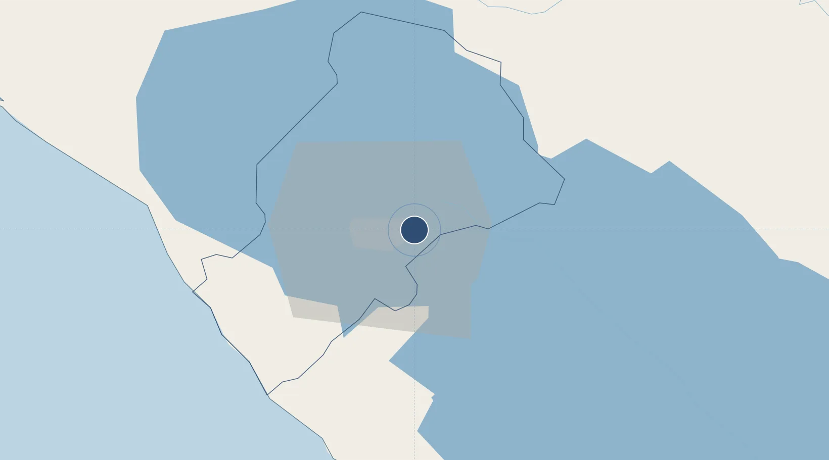
12.1415°, -86.1682°
8,012 ft
Longest runway
1
Runways
194 ft
Elevation

Runway & Layout

Augusto C. Sandino (Managua) International Airport runway & taxiway layout
Runway & taxiway layout — OpenStreetMap (ODbL) / OurAirports

Radio Frequencies

TWR
118.1 MHz
GND
121.9 MHz
APP
119.4 MHz
RDO
126.9 MHz
OurAirports

Navaids

MGA VOR-DME Managua 112.10 MHz
YNP NDB Managua 290 kHz
OurAirports

Runways · 1

RunwayDimensions SurfaceTrue headingLit
10/28 8,012 × 148ft Asphalt 097°
OurAirports

Airport Specifications

IATA code
MGA
OurAirports
ICAO code
MNMG
OurAirports
Airport class
Large airport
OurAirports
Scheduled service
Yes
OurAirports
Runway surface
Asphalt
OurAirports
Served city
Managua
OurAirports

Location

Location of MNMG
Natural Earth 10m (public domain) · Managua · MNMG · 12.14, -86.17GoogleOSMYandex

Nearby Logistics Neighbours

Airports
  1. 1Omtepe Airport85 km
  2. 2Daniel Oduber Quirós International Airport185 km
  3. 3Upala Airport187 km
  4. 4Los Chiles Airport201 km
  5. 5Toncontín Airport242 km
Nearest neighbours — logibook spatial index (haversine) over the source coordinates
Cities
  1. 1Tipitapa10 km
  2. 2San Benito (Tipitapa)22 km
  3. 3Los Brasiles29 km
  4. 4Jinotepe33 km
  5. 5Diriamba33 km
Nearest neighbours — logibook spatial index (haversine) over the source coordinates
Ports
  1. 1Puerto Sandino65 km
  2. 2Corinto115 km
  3. 3Puerto De Hencan197 km
  4. 4La Union224 km
  5. 5Bluefields263 km
Nearest neighbours — logibook spatial index (haversine) over the source coordinates
Trade Zones
  1. 1Parque Industrial Las Mercedes1 km
  2. 2Zonas Industriales Privadas Argeñal, SA2 km
  3. 3El Tránsito, SA4 km
  4. 4Parque Industrial El Transito4 km
  5. 5Operadora Internacional de Zona Franca Managua, SA4 km
Nearest neighbours — logibook spatial index (haversine) over the source coordinates
DatabookThe Record of Consolidated Knowledge
Nicaragua beyond logistics?
Browse databook

All Sources

AirportsOurAirports
Public domain
Portsthe NGA World Port Index
Public domain (US gov)
LocationsUN/LOCODE
UN/LOCODE — free
Trade Zonesthe World Bank SEZ database
CC BY 4.0
Trade ZonesOpen Zone Map
CC BY
InfrastructureOpenStreetMap
ODbL 1.0
← Nicaragua airports