Transport Functions
Port
Road
Hub Profile
Place type
Provincial seat
Region
Managua Department
Population
50,000
Time zone
America/Managua
Elevation
54 m
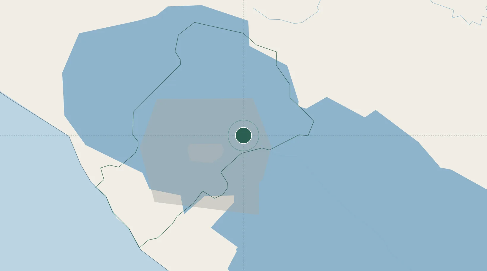
Location
Nearby Logistics Neighbours
Cities
- 1San Benito (Tipitapa)14 km
- 2Los Brasiles20 km
- 3Las Maderas27 km
- 4Malacatoya30 km
- 5Jinotepe40 km
Ports
- 1Puerto Sandino73 km
- 2Corinto120 km
- 3Puerto De Hencan198 km
- 4La Union226 km
- 5Bluefields256 km
Airports
DatabookThe Record of Consolidated Knowledge
Nicaragua beyond logistics?