Large airport · Costa Rica
Daniel Oduber Quirós International AirportMRLB
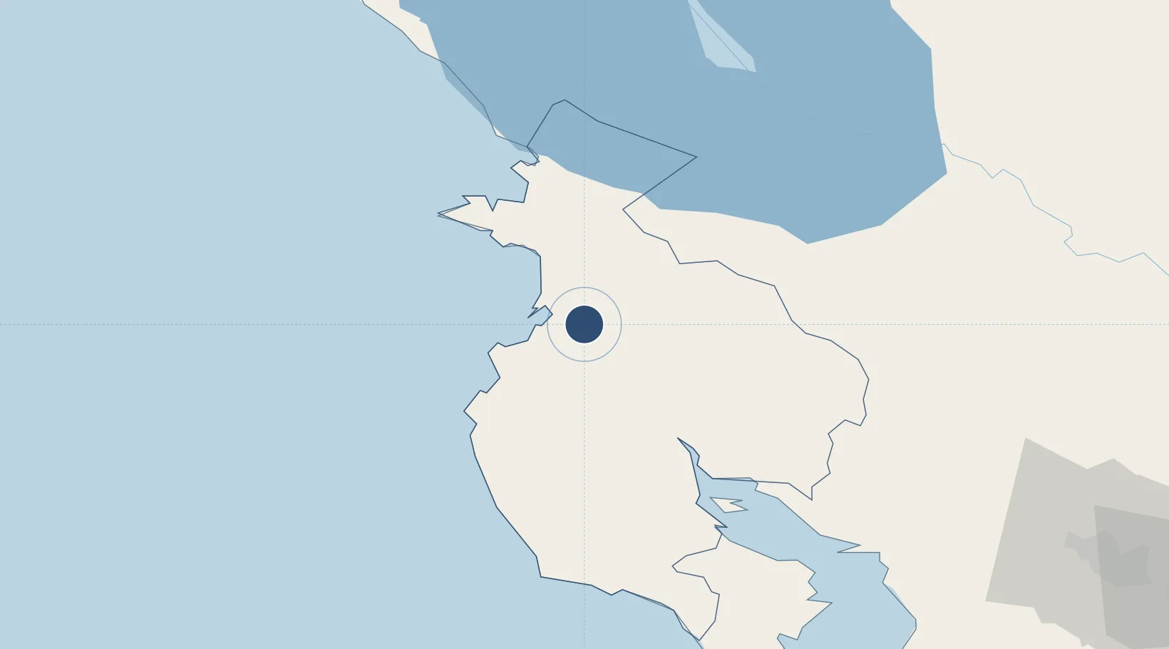
10.5933°, -85.5444°
9,022 ft
Longest runway
1
Runways
270 ft
Elevation
Runway & Layout

Radio Frequencies
TWR
118.8 MHz
LIBERIA TWR
GND
121.7 MHz
APP
119.8 MHz
LIBERIA APP
RDO
126.8 MHz
COCO RDO
Navaids
LIB VOR-DME Liberia 112.80 MHz
Runways · 1
| Runway | Dimensions | Surface | True heading | Lit |
|---|---|---|---|---|
| 07/25 | 9,022 × 148ft | Asphalt | 070° | ✓ |
Airport Specifications
IATA code
LIR
ICAO code
MRLB
Airport class
Large airport
Scheduled service
Yes
Runway surface
Asphalt
Served city
Liberia
Location
Nearby Logistics Neighbours
Airports
- 1Upala Airport67 km
- 2Nosara Airport70 km
- 3Los Chiles Airport104 km
- 4Omtepe Airport105 km
- 5La Fortuna Arenal Airport106 km
Cities
- 1Guardia7 km
- 2Golfo de Papagayo15 km
- 3Filadelfia16 km
- 4Ciruelas24 km
- 5Bagaces33 km
Ports
- 1Puntarenas103 km
- 2Puerto Caldera118 km
- 3Puerto Quepos199 km
- 4Puerto Sandino221 km
- 5Bluefields252 km
Trade Zones
- 1Zona Franca Nicaragua101 km
- 2Zona Franca Puntarenas, SA113 km
- 3Puntarenas Free Trade Zone123 km
- 4Activa Industrial Park145 km
- 5AAA Top Talent Free Trade Zone145 km
DatabookThe Record of Consolidated Knowledge
Costa Rica beyond logistics?