Transport Functions
Port
Multimodal
Hub Profile
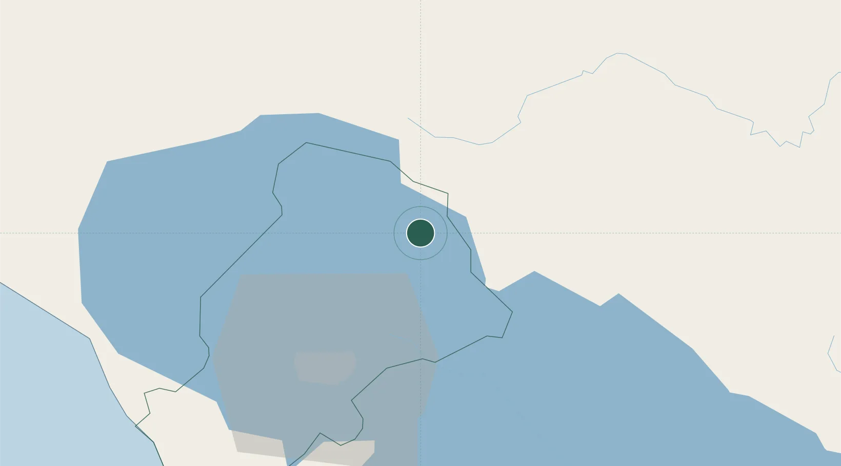
Place type
Populated place
Region
Managua Department
Time zone
America/Managua
Elevation
116 m
Location
Nearby Logistics Neighbours
Cities
- 1San Benito (Tipitapa)14 km
- 2Los Brasiles22 km
- 3Tipitapa27 km
- 4San Benito (San Francisco Libre)31 km
- 5Malacatoya38 km
Ports
- 1Puerto Sandino84 km
- 2Corinto123 km
- 3Puerto De Hencan187 km
- 4La Union219 km
- 5Bluefields252 km
Airports
DatabookThe Record of Consolidated Knowledge
Nicaragua beyond logistics?