Export Processing Zone · Nicaragua

Parque Industrial Portezuelo Active
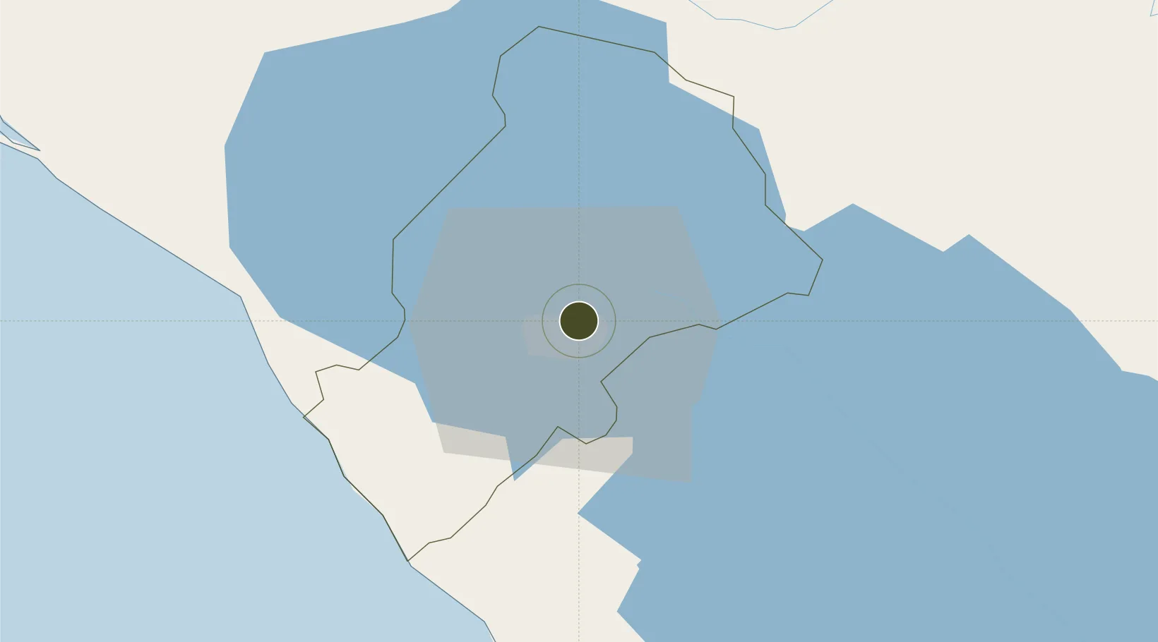
12.1576°, -86.2236°
7 ha
Zone area
59.1 km
Nearest port
6.3 km
Nearest airport

Gateway access

Nearest neighbours — logibook spatial index (haversine) over the source coordinates

Zone profile

Zone type
Export Processing Zone
Open Zone Map
Region
Managua
Open Zone Map
Status
Active
Open Zone Map
Management
Private
Open Zone Map
Operator
Grupo Portezuelo
Open Zone Map
Legal framework
The Free Trade Zone Law – Law 917
Open Zone Map

Location

Location of ozm-2919
Natural Earth 10m (public domain) · Managua · ozm-2919 · 12.16, -86.22GoogleOSMYandex

Nearby Logistics Neighbours

Ports
  1. 1Puerto Sandino59 km
  2. 2Corinto109 km
  3. 3Puerto De Hencan192 km
  4. 4La Union218 km
  5. 5Bluefields269 km
Nearest neighbours — logibook spatial index (haversine) over the source coordinates
Airports
  1. 1Augusto C. Sandino (Managua) International Airport6 km
  2. 2Omtepe Airport90 km
  3. 3Daniel Oduber Quirós International Airport189 km
  4. 4Upala Airport193 km
  5. 5Los Chiles Airport207 km
Nearest neighbours — logibook spatial index (haversine) over the source coordinates
Cities
  1. 1Tipitapa14 km
  2. 2San Benito (Tipitapa)25 km
  3. 3Los Brasiles34 km
  4. 4Diriamba34 km
  5. 5Jinotepe34 km
Nearest neighbours — logibook spatial index (haversine) over the source coordinates
Trade Zones
  1. 1Franca Portezuelo, SA0 km
  2. 2Parque Industrial El Transito3 km
  3. 3Operadora Internacional de Zona Franca Managua, SA3 km
  4. 4El Tránsito, SA3 km
  5. 5Desarrollos Industriales Unidos, SA - (DINUSA)6 km
Nearest neighbours — logibook spatial index (haversine) over the source coordinates
DatabookThe Record of Consolidated Knowledge
Nicaragua beyond logistics?
Browse databook

All Sources

Trade ZonesOpen Zone Map
CC BY
Portsthe NGA World Port Index
Public domain (US gov)
AirportsOurAirports
Public domain
LocationsUN/LOCODE
UN/LOCODE — free
← Nicaragua trade zones