Export Processing Zone · Nicaragua

Zona Franca Saratoga Active
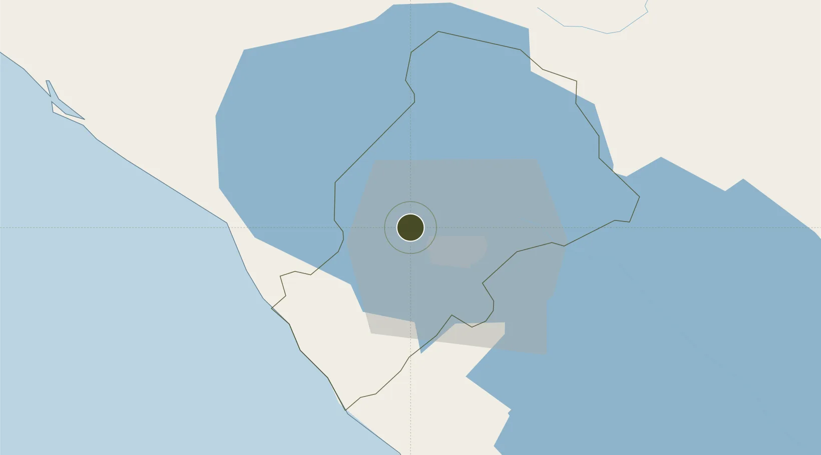
12.1863°, -86.3524°
50 ha
Zone area
45.0 km
Nearest port
20.6 km
Nearest airport

Gateway access

Nearest neighbours — logibook spatial index (haversine) over the source coordinates

Zone profile

Zone type
Export Processing Zone
Open Zone Map
Region
Managua
Open Zone Map
Status
Active
Open Zone Map
Management
Private
Open Zone Map
Operator
Empresa Operadora de Zona Franca Saratoga, Sociedad Anonima
Open Zone Map
Legal framework
The Free Trade Zone Law – Law 917 National Assembly Decree No. 11-97
Open Zone Map

Location

Location of ozm-2925
Natural Earth 10m (public domain) · Managua · ozm-2925 · 12.19, -86.35GoogleOSMYandex

Nearby Logistics Neighbours

Ports
  1. 1Puerto Sandino45 km
  2. 2Corinto94 km
  3. 3Puerto De Hencan180 km
  4. 4La Union205 km
  5. 5Bluefields284 km
Nearest neighbours — logibook spatial index (haversine) over the source coordinates
Airports
  1. 1Augusto C. Sandino (Managua) International Airport21 km
  2. 2Omtepe Airport102 km
  3. 3Daniel Oduber Quirós International Airport198 km
  4. 4Upala Airport205 km
  5. 5Los Chiles Airport220 km
Nearest neighbours — logibook spatial index (haversine) over the source coordinates
Cities
  1. 1Tipitapa28 km
  2. 2San Benito (Tipitapa)34 km
  3. 3San Rafael del Sur39 km
  4. 4Diriamba40 km
  5. 5Jinotepe41 km
Nearest neighbours — logibook spatial index (haversine) over the source coordinates
DatabookThe Record of Consolidated Knowledge
Nicaragua beyond logistics?
Browse databook

All Sources

Trade ZonesOpen Zone Map
CC BY
Portsthe NGA World Port Index
Public domain (US gov)
AirportsOurAirports
Public domain
LocationsUN/LOCODE
UN/LOCODE — free
← Nicaragua trade zones