UN/LOCODE hub · Nicaragua
NISBT

San Benito (Tipitapa)

12.3167°, -86.0667°
1
Transport functions

Transport Functions

Multimodal
UN/LOCODE

Hub Profile

Region
MN
GeoNames

Location

Location of NISBT
Natural Earth 10m (public domain) · MN · NISBT · 12.32, -86.07GoogleOSMYandex

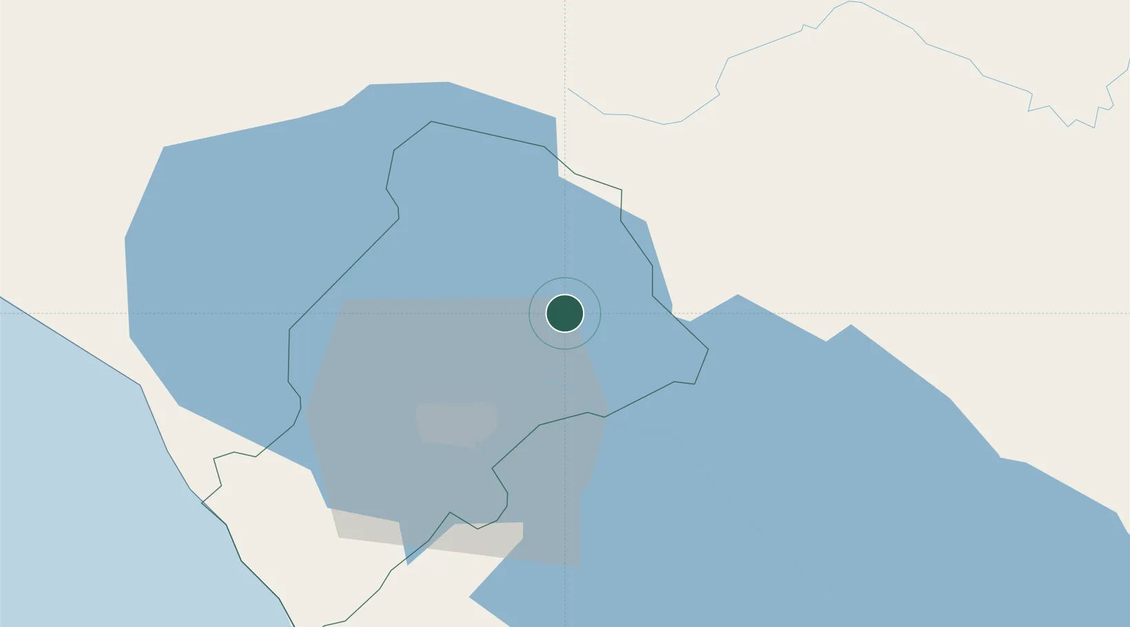
Nearby Logistics Neighbours

Cities
  1. 1Las Maderas14 km
  2. 2Tipitapa14 km
  3. 3Los Brasiles16 km
  4. 4Malacatoya31 km
  5. 5San Benito (San Francisco Libre)36 km
Nearest neighbours — logibook spatial index (haversine) over the source coordinates
Ports
  1. 1Puerto Sandino78 km
  2. 2Corinto121 km
  3. 3Puerto De Hencan192 km
  4. 4La Union222 km
  5. 5Bluefields254 km
Nearest neighbours — logibook spatial index (haversine) over the source coordinates
Airports
  1. 1Augusto C. Sandino (Managua) International Airport22 km
  2. 2Omtepe Airport97 km
  3. 3Upala Airport195 km
  4. 4Daniel Oduber Quirós International Airport200 km
  5. 5Los Chiles Airport206 km
Nearest neighbours — logibook spatial index (haversine) over the source coordinates
Trade Zones
  1. 1Zona Franca Industrial Tipitapa, SA15 km
  2. 2Astro Nicaragua, SA17 km
  3. 3Zonas Industriales Privadas Argeñal, SA21 km
  4. 4Parque Industrial Las Mercedes22 km
  5. 5Operadora Internacional de Zona Franca Managua, SA23 km
Nearest neighbours — logibook spatial index (haversine) over the source coordinates
DatabookThe Record of Consolidated Knowledge
Nicaragua beyond logistics?
Browse databook

All Sources

LocationsUN/LOCODE
UN/LOCODE — free
Portsthe NGA World Port Index
Public domain (US gov)
AirportsOurAirports
Public domain
Trade Zonesthe World Bank SEZ database
CC BY 4.0
Trade ZonesOpen Zone Map
CC BY
← Nicaragua locations