Export Processing Zone · Nicaragua

Parques Industriales Zeta Active
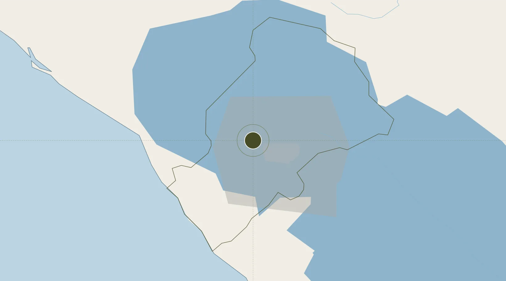
12.1787°, -86.3508°
11 ha
Zone area
45.2 km
Nearest port
20.3 km
Nearest airport

Gateway access

Nearest neighbours — logibook spatial index (haversine) over the source coordinates

Zone profile

Zone type
Export Processing Zone
Open Zone Map
Region
Managua
Open Zone Map
Status
Active
Open Zone Map
Management
Private
Open Zone Map
Operator
Parque Industrial Zeta Nicaragua, SA
Open Zone Map
Legal framework
The Free Trade Zone Law – Law 917
Open Zone Map

Location

Location of ozm-2921
Natural Earth 10m (public domain) · Managua · ozm-2921 · 12.18, -86.35GoogleOSMYandex

Nearby Logistics Neighbours

Ports
  1. 1Puerto Sandino45 km
  2. 2Corinto95 km
  3. 3Puerto De Hencan181 km
  4. 4La Union206 km
  5. 5Bluefields283 km
Nearest neighbours — logibook spatial index (haversine) over the source coordinates
Airports
  1. 1Augusto C. Sandino (Managua) International Airport20 km
  2. 2Omtepe Airport101 km
  3. 3Daniel Oduber Quirós International Airport197 km
  4. 4Upala Airport204 km
  5. 5Los Chiles Airport220 km
Nearest neighbours — logibook spatial index (haversine) over the source coordinates
Cities
  1. 1Tipitapa27 km
  2. 2San Benito (Tipitapa)35 km
  3. 3San Rafael del Sur38 km
  4. 4Diriamba39 km
  5. 5Jinotepe40 km
Nearest neighbours — logibook spatial index (haversine) over the source coordinates
DatabookThe Record of Consolidated Knowledge
Nicaragua beyond logistics?
Browse databook

All Sources

Trade ZonesOpen Zone Map
CC BY
Portsthe NGA World Port Index
Public domain (US gov)
AirportsOurAirports
Public domain
LocationsUN/LOCODE
UN/LOCODE — free
← Nicaragua trade zones