Medium airport · Mexico

Monclova International AirportMMMV

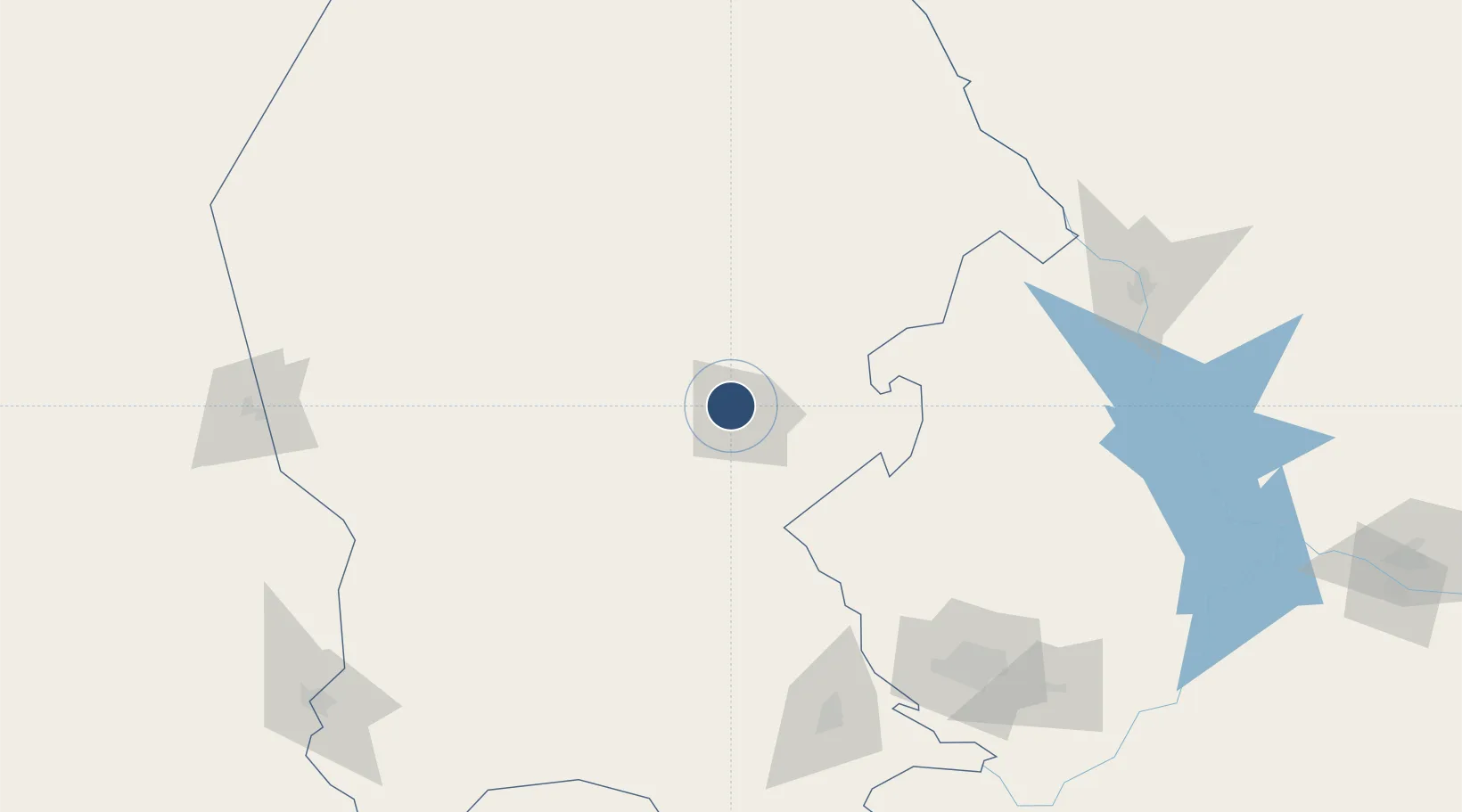
26.9557°, -101.4700°
6,890 ft
Longest runway
2
Runways
1,864 ft
Elevation

Runway & Layout

Monclova International Airport runway & taxiway layout
Runway & taxiway layout — OpenStreetMap (ODbL) / OurAirports

Radio Frequencies

AFIS
118.9 MHz
INFO
OurAirports

Navaids

MOV VOR-DME Monclova 117.90 MHz
OurAirports

Runways · 2

RunwayDimensions SurfaceTrue headingLit
06R/24L 6,890 × 148ft Asphalt 073°
06L/24R 4,783 × 66ft Asphalt 073°
OurAirports

Airport Specifications

IATA code
LOV
OurAirports
ICAO code
MMMV
OurAirports
Airport class
Medium airport
OurAirports
Scheduled service
No
OurAirports
Runway surface
Asphalt
OurAirports
Served city
Monclova
OurAirports

Location

Location of MMMV
Natural Earth 10m (public domain) · Coahuila · MMMV · 26.96, -101.47GoogleOSMYandex

Nearby Logistics Neighbours

Airports
  1. 1Plan De Guadalupe International Airport167 km
  2. 2Del Norte International Airport173 km
  3. 3Monterrey International Airport189 km
  4. 4Quetzalcóatl International Airport196 km
  5. 5Piedras Negras International Airport207 km
Nearest neighbours — logibook spatial index (haversine) over the source coordinates
Cities
  1. 1Sabinas105 km
  2. 2Villa de García155 km
  3. 3San Nicolás de los Garza178 km
  4. 4Garza García179 km
  5. 5Arteaga182 km
Nearest neighbours — logibook spatial index (haversine) over the source coordinates
Ports
  1. 1Corpus Christi413 km
  2. 2Brownsville420 km
  3. 3Port Ingleside434 km
  4. 4Port Isabel436 km
  5. 5Port Aransas447 km
Nearest neighbours — logibook spatial index (haversine) over the source coordinates
Trade Zones
  1. 1FTZ No. 094 Laredo209 km
  2. 2FTZ No. 096 Eagle Pass216 km
  3. 3FTZ No. 095 Starr County271 km
  4. 4FTZ No. 012 McAllen331 km
  5. 5FTZ No. 156 Weslaco354 km
Nearest neighbours — logibook spatial index (haversine) over the source coordinates
DatabookThe Record of Consolidated Knowledge
Mexico beyond logistics?
Browse databook

All Sources

AirportsOurAirports
Public domain
Portsthe NGA World Port Index
Public domain (US gov)
LocationsUN/LOCODE
UN/LOCODE — free
Trade Zonesthe World Bank SEZ database
CC BY 4.0
Trade ZonesOpen Zone Map
CC BY
InfrastructureOpenStreetMap
ODbL 1.0
← Mexico airports