Transport Functions
Rail
Road
Airport
Hub Profile
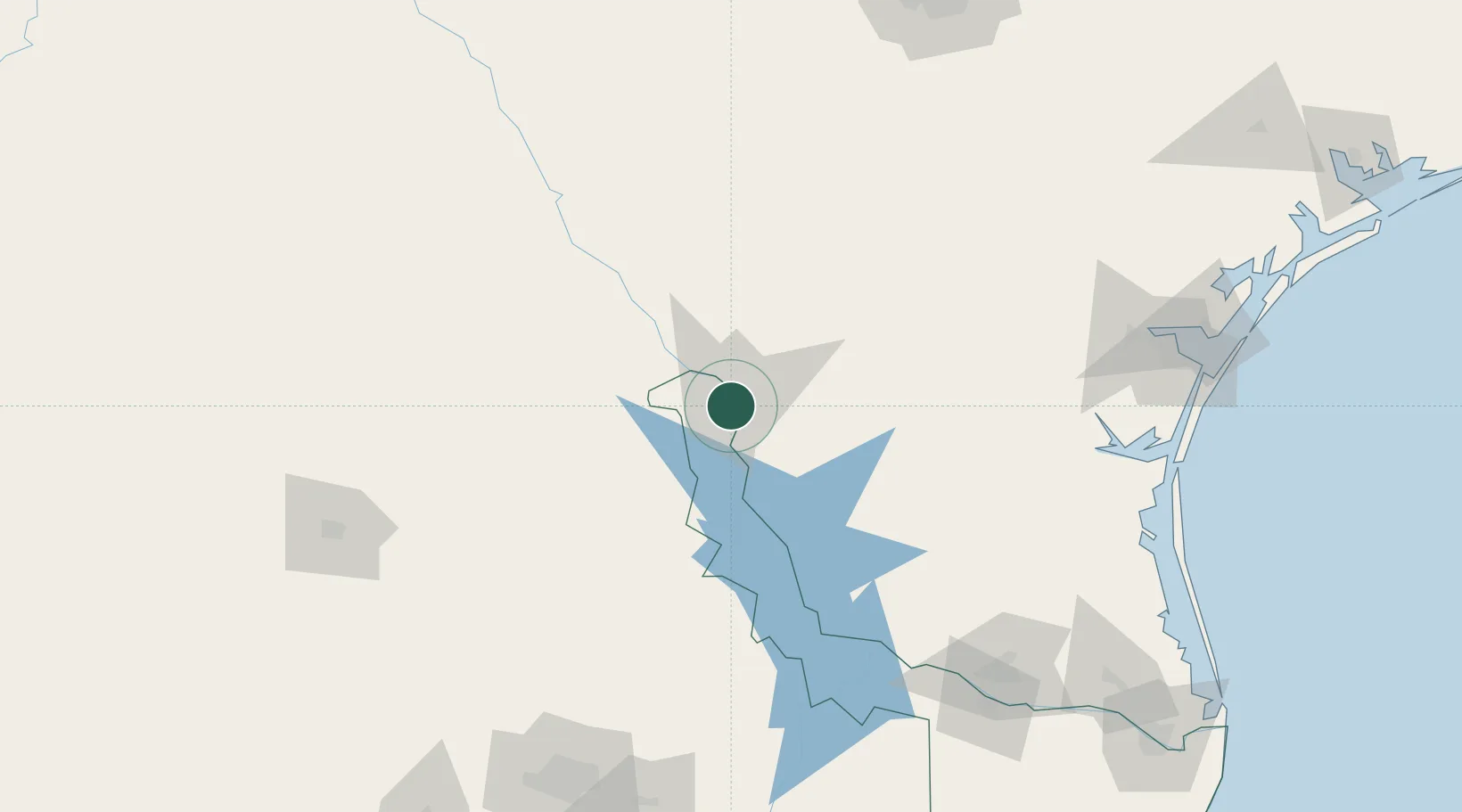
Place type
Populated place
Region
Tamaulipas
Population
416,055
Time zone
America/Matamoros
Elevation
130 m
Location
Nearby Logistics Neighbours
Cities
- 1Colombia32 km
- 2Oilton54 km
- 3Hebbronville85 km
- 4San Diego130 km
- 5Dilley134 km
Ports
- 1Corpus Christi211 km
- 2Port Ingleside233 km
- 3Port Aransas246 km
- 4Rockport249 km
- 5Brownsville272 km
Airports
Trade Zones
- 1FTZ No. 094 Laredo7 km
- 2FTZ No. 095 Starr County143 km
- 3FTZ No. 096 Eagle Pass165 km
- 4FTZ No. 012 McAllen195 km
- 5FTZ No. 156 Weslaco211 km
DatabookThe Record of Consolidated Knowledge
Mexico beyond logistics?