Transport Functions
Rail
Road
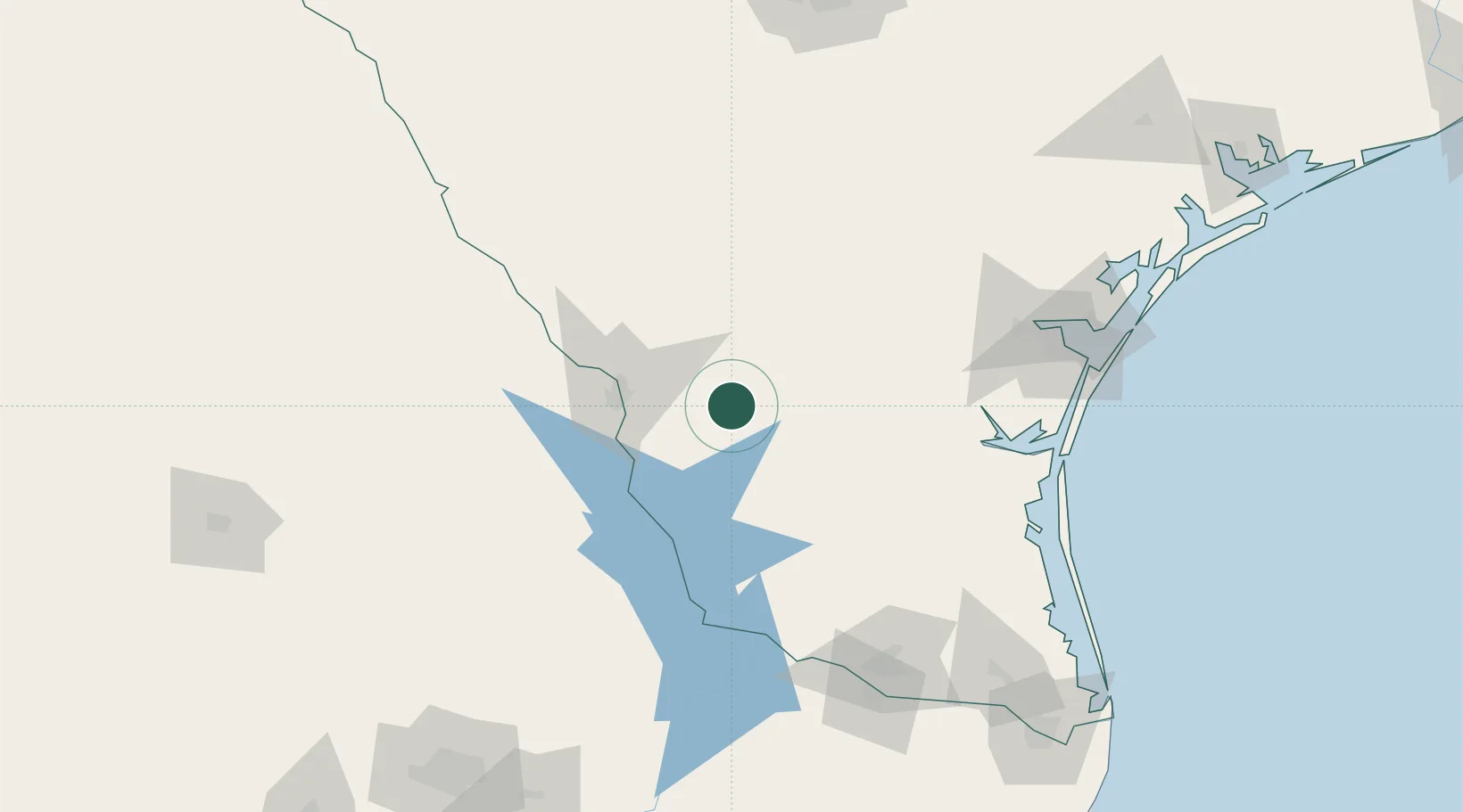
Hub Profile
Place type
Populated place
Region
Texas
Population
353
Time zone
America/Chicago
Elevation
262 m
Location
Nearby Logistics Neighbours
Cities
- 1Hebbronville34 km
- 2Nuevo Laredo54 km
- 3San Diego80 km
- 4Colombia81 km
- 5Premont85 km
Ports
- 1Corpus Christi159 km
- 2Port Ingleside180 km
- 3Port Aransas193 km
- 4Rockport198 km
- 5Brownsville230 km
Airports
Trade Zones
- 1FTZ No. 094 Laredo50 km
- 2FTZ No. 095 Starr County122 km
- 3FTZ No. 122 Corpus Christi159 km
- 4FTZ No. 012 McAllen162 km
- 5FTZ No. 156 Weslaco173 km
DatabookThe Record of Consolidated Knowledge
United States beyond logistics?