Transport Functions
Road
Multimodal
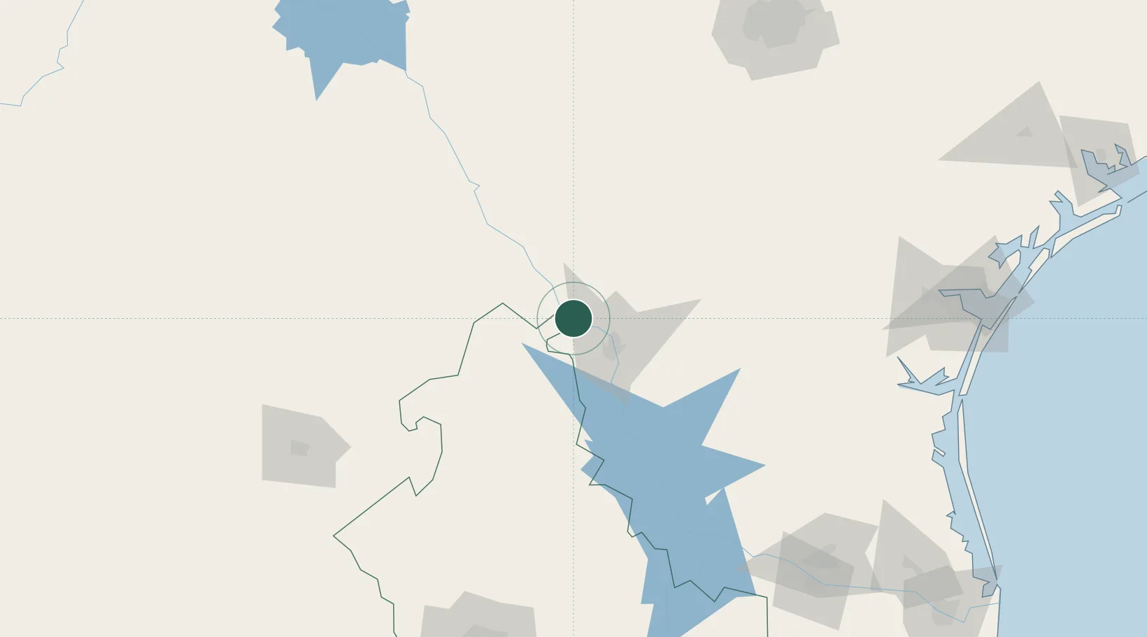
Hub Profile
Place type
Populated place
Region
Nuevo León
Population
514
Time zone
America/Matamoros
Elevation
146 m
Location
Nearby Logistics Neighbours
Cities
- 1Nuevo Laredo32 km
- 2Oilton81 km
- 3Hebbronville114 km
- 4Dilley122 km
- 5Sabinas136 km
Ports
- 1Corpus Christi232 km
- 2Port Ingleside253 km
- 3Port Aransas266 km
- 4Rockport268 km
- 5Brownsville304 km
Airports
Trade Zones
- 1FTZ No. 094 Laredo33 km
- 2FTZ No. 096 Eagle Pass133 km
- 3FTZ No. 095 Starr County174 km
- 4FTZ No. 080 San Antonio219 km
- 5FTZ No. 012 McAllen226 km
DatabookThe Record of Consolidated Knowledge
Mexico beyond logistics?