Seaport · United States
BrownsvilleUSBRO
25.9500°, -97.4000°
12.5 m
Channel depth
17.3
Port liner connectivity
Channel & Berth Profile
Pilotage, Tugs & Services
Pilotage compulsoryYES
Pilotage availableYES
Pilotage advisableYES
Tug assistanceYES
Salvage tugsYES
Shore powerYES
Potable waterYES
Diesel bunkersYES
MedicalYES
Garbage disposalYES
Facilities & Capabilities
Container—
Ro-Ro—
Liquid bulk—
Dry bulk—
Oil terminal—
Break bulk—
Dry dockNO
RepairsNO
BunkeringYES
Rail linkYES
Dangerous cargo—
ISPS security—
Harbour Specifications
Harbour size
Small
Harbour type
Canal or Lake
Shelter
Good
Water body
Gulf of Mexico; North Atlantic Ocean
Tidal range
0.3 m
Overhead limit
Yes
Pilotage
Yes
Liner Connectivity
17.3
PLSCI
Port Liner Shipping Connectivity Index for Brownsville, as published by UNCTAD for the latest available quarter. Higher values indicate stronger scheduled liner-shipping integration.
Shown relative to the highest per-port PLSCI in the dataset (1,657.9).
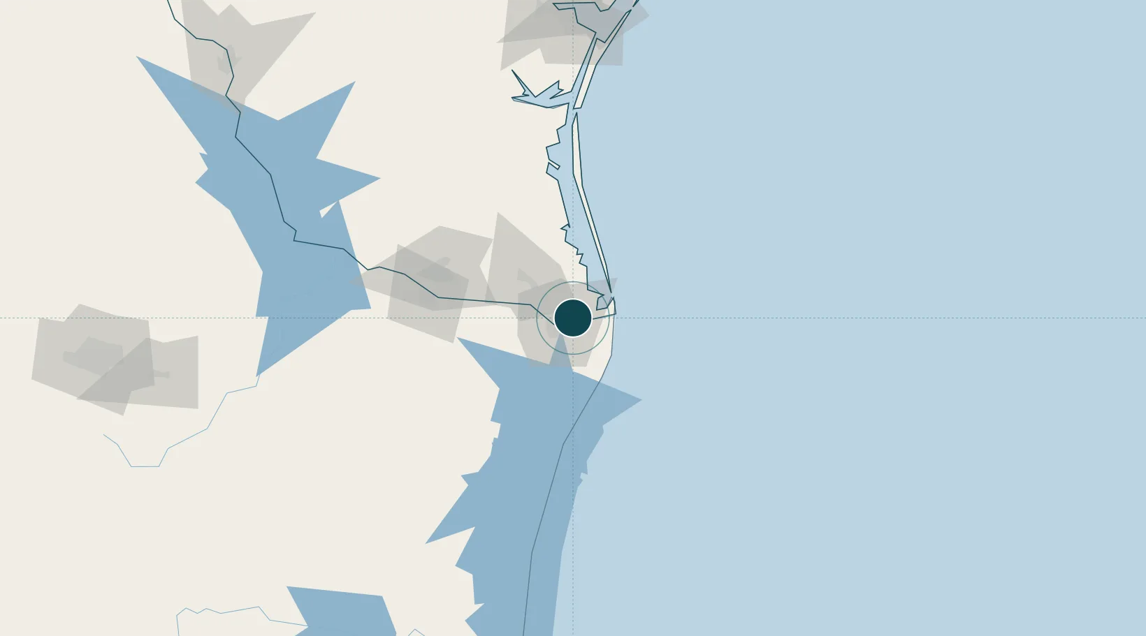
Location
Nearby Logistics Neighbours
Ports
- 1Port Isabel25 km
- 2Corpus Christi208 km
- 3Port Ingleside209 km
- 4Port Aransas212 km
- 5Rockport232 km
Cities
- 1Los Fresnos15 km
- 2Olmito15 km
- 3South Padre Island30 km
- 4Los Indios37 km
- 5Combes45 km
Airports
Trade Zones
- 1FTZ No. 062 Brownsville1 km
- 2FTZ No. 156 Weslaco66 km
- 3FTZ No. 157 Casper66 km
- 4FTZ No. 012 McAllen90 km
- 5FTZ No. 095 Starr County149 km
DatabookThe Record of Consolidated Knowledge
United States beyond logistics?