Transport Functions
Multimodal
Hub Profile
Place type
Provincial seat
Region
Aguascalientes
Population
43,012
Time zone
America/Mexico_City
Elevation
1,873 m
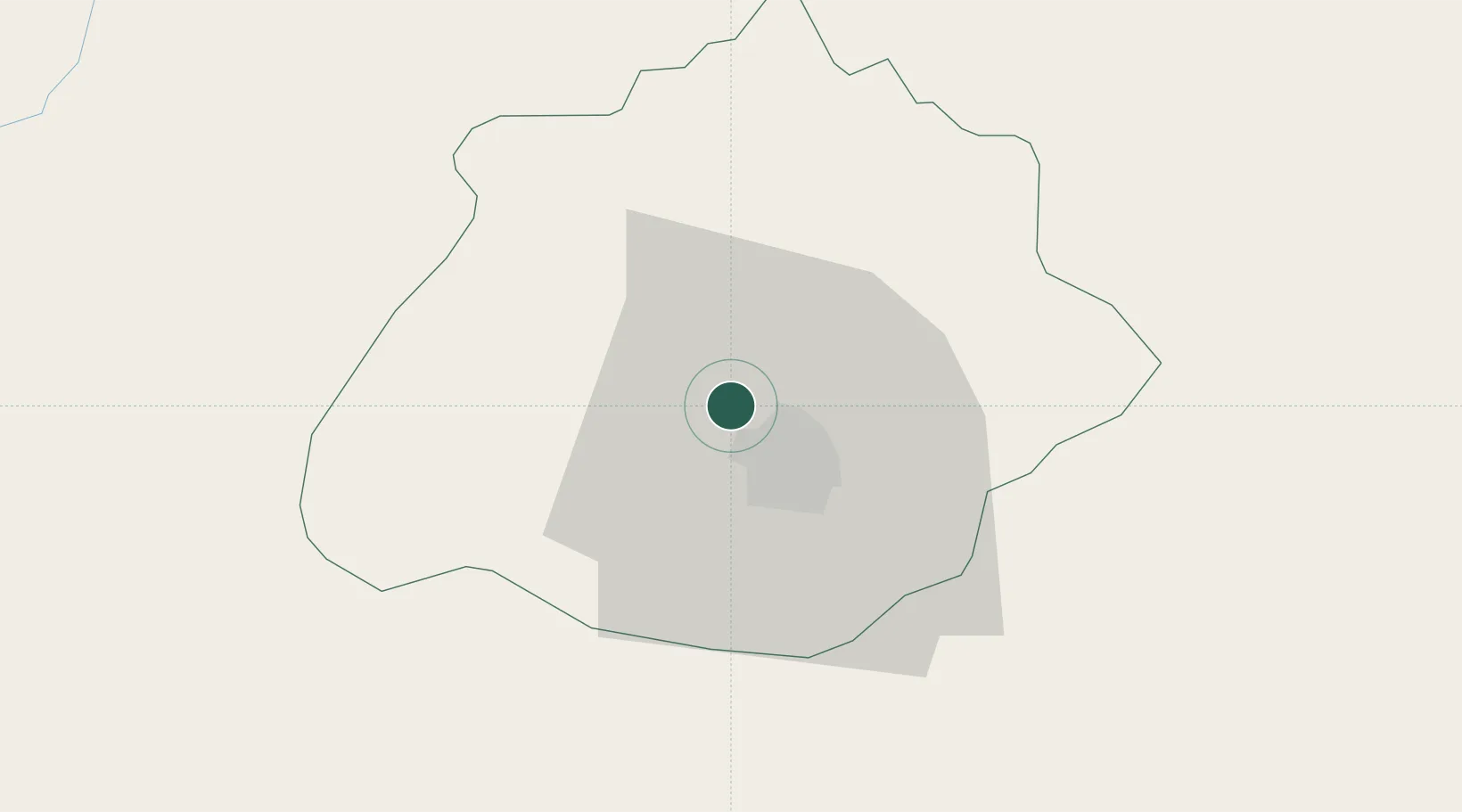
Location
Nearby Logistics Neighbours
Cities
- 1La Troje29 km
- 2Granjas107 km
- 3Obregón116 km
- 4Puerto Interior Leon129 km
- 5Tepatitlán de Morelos134 km
Ports
- 1Puerto Vallarta337 km
- 2Manzanillo384 km
- 3Mazatlan439 km
- 4Lazaro Cardenas449 km
- 5Tampico463 km
Airports
Trade Zones
- 1The Special Economic Zone of Lázaro Cárdenas - La Unión450 km
- 2FTZ No. 095 Starr County607 km
- 3FTZ No. 012 McAllen623 km
- 4FTZ No. 156 Weslaco640 km
- 5FTZ No. 157 Casper640 km
DatabookThe Record of Consolidated Knowledge
Mexico beyond logistics?