UN/LOCODE hub · Mexico
MXTEP
Tepatitlán de Morelos
20.8167°, -102.7333°
91,959
Population
2
Transport functions
Transport Functions
Road
Multimodal
Hub Profile
Place type
Provincial seat
Region
Jalisco
Population
91,959
Time zone
America/Mexico_City
Elevation
1,825 m
Location
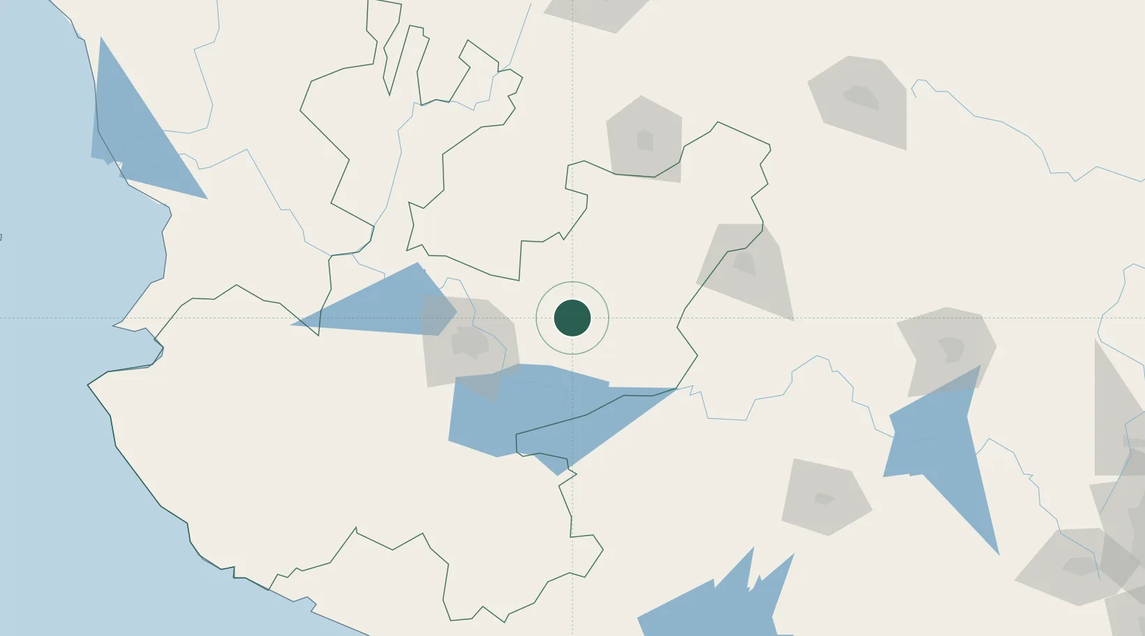
Nearby Logistics Neighbours
Cities
- 1Acatic16 km
- 2Puerto Interior Leon23 km
- 3Atotonilco el Alto38 km
- 4Zapotlan del Rey45 km
- 5Ocotlan54 km
Ports
- 1Manzanillo257 km
- 2Puerto Vallarta264 km
- 3Lazaro Cardenas326 km
- 4Mazatlan463 km
- 5Tampico527 km
Airports
Trade Zones
- 1The Special Economic Zone of Lázaro Cárdenas - La Unión327 km
- 2FTZ No. 095 Starr County736 km
- 3FTZ No. 012 McAllen747 km
- 4FTZ No. 156 Weslaco764 km
- 5FTZ No. 157 Casper764 km
DatabookThe Record of Consolidated Knowledge
Mexico beyond logistics?