Transport Functions
Multimodal
Hub Profile
Region
GUA
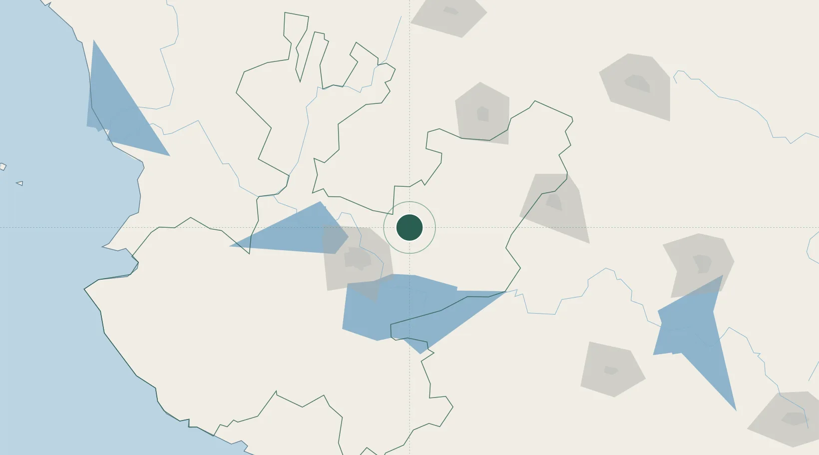
Location
Nearby Logistics Neighbours
Cities
- 1Acatic17 km
- 2Tepatitlán de Morelos23 km
- 3Zapotlan del Rey54 km
- 4Atotonilco el Alto61 km
- 5Santa Cruz de las Flores61 km
Ports
- 1Puerto Vallarta247 km
- 2Manzanillo255 km
- 3Lazaro Cardenas343 km
- 4Mazatlan440 km
- 5Tampico541 km
Airports
Trade Zones
- 1The Special Economic Zone of Lázaro Cárdenas - La Unión343 km
- 2FTZ No. 095 Starr County735 km
- 3FTZ No. 012 McAllen749 km
- 4FTZ No. 156 Weslaco766 km
- 5FTZ No. 157 Casper766 km
DatabookThe Record of Consolidated Knowledge
Mexico beyond logistics?