Medium airport · Mexico

Ponciano Arriaga International AirportMMSP

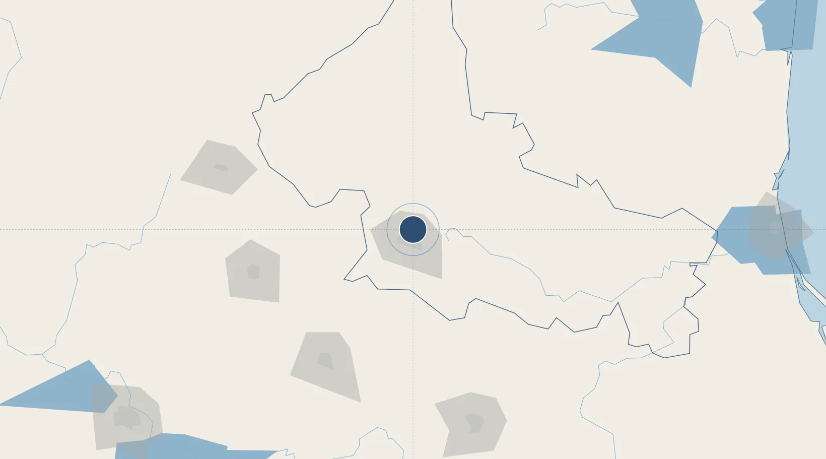
22.2620°, -100.9357°
9,867 ft
Longest runway
2
Runways
6,035 ft
Elevation

Runway & Layout

Ponciano Arriaga International Airport runway & taxiway layout
Runway & taxiway layout — OpenStreetMap (ODbL) / OurAirports

Radio Frequencies

APP
118.9 MHz
POTOSI APP/TWR
OurAirports

Navaids

SLP VOR-DME Potosi 117.20 MHz
OurAirports

Runways · 2

RunwayDimensions SurfaceTrue headingLit
14/32 9,867 × 148ft Asphalt 149°
04/22 3,259 × 98ft Asphalt 047°
OurAirports

Airport Specifications

IATA code
SLP
OurAirports
ICAO code
MMSP
OurAirports
Airport class
Medium airport
OurAirports
Scheduled service
Yes
OurAirports
Runway surface
Asphalt
OurAirports
Served city
San Luis Potosí
OurAirports

Location

Location of MMSP
Natural Earth 10m (public domain) · San Luis Potosí · MMSP · 22.26, -100.94GoogleOSMYandex

Nearby Logistics Neighbours

Airports
  1. 1Guanajuato International Airport152 km
  2. 2Aguascalientes International Airport156 km
  3. 3Captain Rogelio Castillo National Airport191 km
  4. 4General Leobardo C. Ruiz International Airport193 km
  5. 5Querétaro Intercontinental Airport199 km
Nearest neighbours — logibook spatial index (haversine) over the source coordinates
Cities
  1. 1San Luis Potosí25 km
  2. 2Obregón34 km
  3. 3San Nicolás Tolentino36 km
  4. 4Dolores Hidalgo124 km
  5. 5La Purísima130 km
Nearest neighbours — logibook spatial index (haversine) over the source coordinates
Ports
  1. 1Tampico316 km
  2. 2Altamira318 km
  3. 3Tuxpan394 km
  4. 4Puerto Vallarta484 km
  5. 5Lazaro Cardenas498 km
Nearest neighbours — logibook spatial index (haversine) over the source coordinates
Trade Zones
  1. 1The Special Economic Zone of Lázaro Cárdenas - La Unión499 km
  2. 2FTZ No. 095 Starr County505 km
  3. 3FTZ No. 012 McAllen510 km
  4. 4FTZ No. 156 Weslaco524 km
  5. 5FTZ No. 157 Casper524 km
Nearest neighbours — logibook spatial index (haversine) over the source coordinates
DatabookThe Record of Consolidated Knowledge
Mexico beyond logistics?
Browse databook

All Sources

AirportsOurAirports
Public domain
Portsthe NGA World Port Index
Public domain (US gov)
LocationsUN/LOCODE
UN/LOCODE — free
Trade Zonesthe World Bank SEZ database
CC BY 4.0
Trade ZonesOpen Zone Map
CC BY
InfrastructureOpenStreetMap
ODbL 1.0
← Mexico airports