UN/LOCODE hub · Mexico
MXGRA

Granjas

21.1833°, -101.7500°
2
Transport functions

Transport Functions

Port
Multimodal
UN/LOCODE

Hub Profile

Place type
Populated place
GeoNames
Region
Guanajuato
GeoNames
Time zone
America/Mexico_City
GeoNames
Elevation
2,044 m
GeoNames

Location

Location of MXGRA
Natural Earth 10m (public domain) · Guanajuato · MXGRA · 21.18, -101.75GoogleOSMYandex

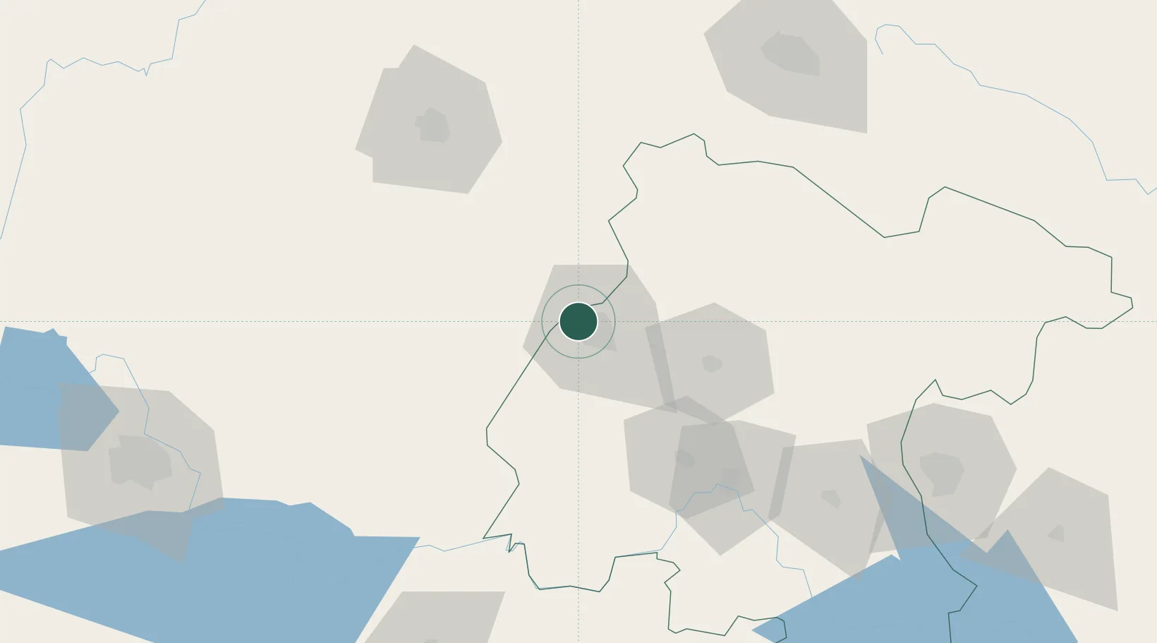
Nearby Logistics Neighbours

Cities
  1. 1La Purísima77 km
  2. 2Dolores Hidalgo87 km
  3. 3La Piedad de Cabadas96 km
  4. 4La Troje104 km
  5. 5Atotonilco el Alto105 km
Nearest neighbours — logibook spatial index (haversine) over the source coordinates
Ports
  1. 1Manzanillo358 km
  2. 2Lazaro Cardenas364 km
  3. 3Puerto Vallarta371 km
  4. 4Tampico417 km
  5. 5Altamira428 km
Nearest neighbours — logibook spatial index (haversine) over the source coordinates
Trade Zones
  1. 1The Special Economic Zone of Lázaro Cárdenas - La Unión365 km
  2. 2FTZ No. 095 Starr County650 km
  3. 3FTZ No. 012 McAllen656 km
  4. 4FTZ No. 156 Weslaco671 km
  5. 5FTZ No. 157 Casper671 km
Nearest neighbours — logibook spatial index (haversine) over the source coordinates
DatabookThe Record of Consolidated Knowledge
Mexico beyond logistics?
Browse databook

All Sources

LocationsUN/LOCODE
UN/LOCODE — free
Portsthe NGA World Port Index
Public domain (US gov)
AirportsOurAirports
Public domain
Trade Zonesthe World Bank SEZ database
CC BY 4.0
Trade ZonesOpen Zone Map
CC BY
← Mexico locations