Transport Functions
Port
Road
Multimodal
Hub Profile
Place type
Urban district
Region
Colima
Time zone
America/Mexico_City
Elevation
491 m
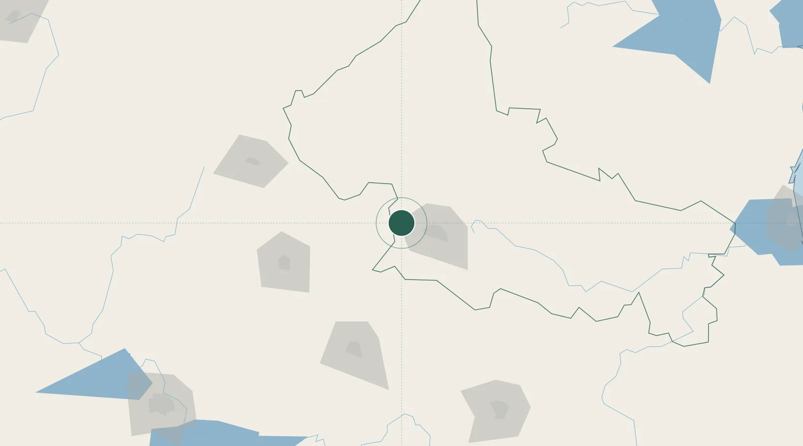
Location
Nearby Logistics Neighbours
Cities
- 1San Luis Potosí45 km
- 2San Nicolás Tolentino70 km
- 3Jesus Maria116 km
- 4Dolores Hidalgo128 km
- 5Granjas129 km
Ports
- 1Tampico350 km
- 2Altamira352 km
- 3Tuxpan425 km
- 4Puerto Vallarta452 km
- 5Manzanillo477 km
Airports
Trade Zones
- 1The Special Economic Zone of Lázaro Cárdenas - La Unión490 km
- 2FTZ No. 095 Starr County522 km
- 3FTZ No. 012 McAllen530 km
- 4FTZ No. 156 Weslaco545 km
- 5FTZ No. 157 Casper545 km
DatabookThe Record of Consolidated Knowledge
Mexico beyond logistics?