Large airport · Mexico

Aguascalientes International AirportMMAS

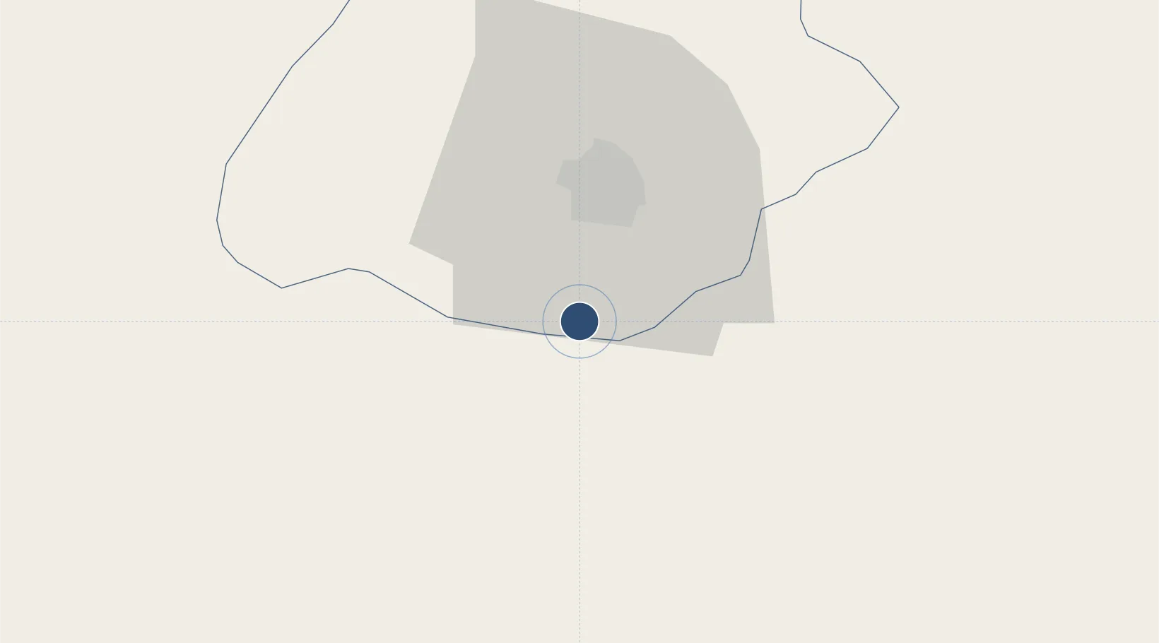
21.6996°, -102.3184°
9,843 ft
Longest runway
1
Runways
6,112 ft
Elevation

Runway & Layout

Aguascalientes International Airport runway & taxiway layout
Runway & taxiway layout — OpenStreetMap (ODbL) / OurAirports

Radio Frequencies

TWR
118.6 MHz
AGUASCALIENTES TWR
APP
119.05 MHz
LEON APP
OurAirports

Navaids

AGU VOR-DME Aguascalientes 113.60 MHz
OurAirports

Runways · 1

RunwayDimensions SurfaceTrue headingLit
18/36 9,843 × 148ft Asphalt 183°
OurAirports

Airport Specifications

IATA code
AGU
OurAirports
ICAO code
MMAS
OurAirports
Airport class
Large airport
OurAirports
Scheduled service
Yes
OurAirports
Runway surface
Asphalt
OurAirports
Served city
Aguascalientes
OurAirports

Location

Location of MMAS
Natural Earth 10m (public domain) · Aguascalientes · MMAS · 21.70, -102.32GoogleOSMYandex

Nearby Logistics Neighbours

Airports
  1. 1Guanajuato International Airport117 km
  2. 2General Leobardo C. Ruiz International Airport138 km
  3. 3Ponciano Arriaga International Airport156 km
  4. 4Unitec Guadalajara Helipad164 km
  5. 5Guadalajara International Airport166 km
Nearest neighbours — logibook spatial index (haversine) over the source coordinates
Cities
  1. 1La Troje23 km
  2. 2Jesus Maria30 km
  3. 3Granjas82 km
  4. 4Puerto Interior Leon105 km
  5. 5Tepatitlán de Morelos107 km
Nearest neighbours — logibook spatial index (haversine) over the source coordinates
Ports
  1. 1Puerto Vallarta329 km
  2. 2Manzanillo361 km
  3. 3Lazaro Cardenas419 km
  4. 4Mazatlan453 km
  5. 5Tampico463 km
Nearest neighbours — logibook spatial index (haversine) over the source coordinates
Trade Zones
  1. 1The Special Economic Zone of Lázaro Cárdenas - La Unión420 km
  2. 2FTZ No. 095 Starr County630 km
  3. 3FTZ No. 012 McAllen644 km
  4. 4FTZ No. 156 Weslaco660 km
  5. 5FTZ No. 157 Casper660 km
Nearest neighbours — logibook spatial index (haversine) over the source coordinates
DatabookThe Record of Consolidated Knowledge
Mexico beyond logistics?
Browse databook

All Sources

AirportsOurAirports
Public domain
Portsthe NGA World Port Index
Public domain (US gov)
LocationsUN/LOCODE
UN/LOCODE — free
Trade Zonesthe World Bank SEZ database
CC BY 4.0
Trade ZonesOpen Zone Map
CC BY
InfrastructureOpenStreetMap
ODbL 1.0
← Mexico airports