Channel & Berth Profile
Pilotage, Tugs & Services
Pilotage compulsoryYES
Pilotage availableYES
Pilotage advisableYES
Tug assistanceYES
Potable waterYES
Diesel bunkersYES
MedicalYES
Garbage disposalYES
Facilities & Capabilities
ContainerYES
Ro-RoYES
Liquid bulkYES
Dry bulkYES
Oil terminal—
Break bulkYES
Dry dockNO
RepairsNO
BunkeringYES
Rail linkYES
Dangerous cargoALLOW
ISPS securityYES
Harbour Specifications
Harbour size
Medium
Harbour type
River (Natural)
Shelter
Good
Water body
Gulf of Mexico; North Atlantic Ocean
Tidal range
0.6 m
Overhead limit
Yes
Pilotage
Yes
Liner Connectivity
18.9
PLSCI
Port Liner Shipping Connectivity Index for Tampico, as published by UNCTAD for the latest available quarter. Higher values indicate stronger scheduled liner-shipping integration.
Shown relative to the highest per-port PLSCI in the dataset (1,657.9).
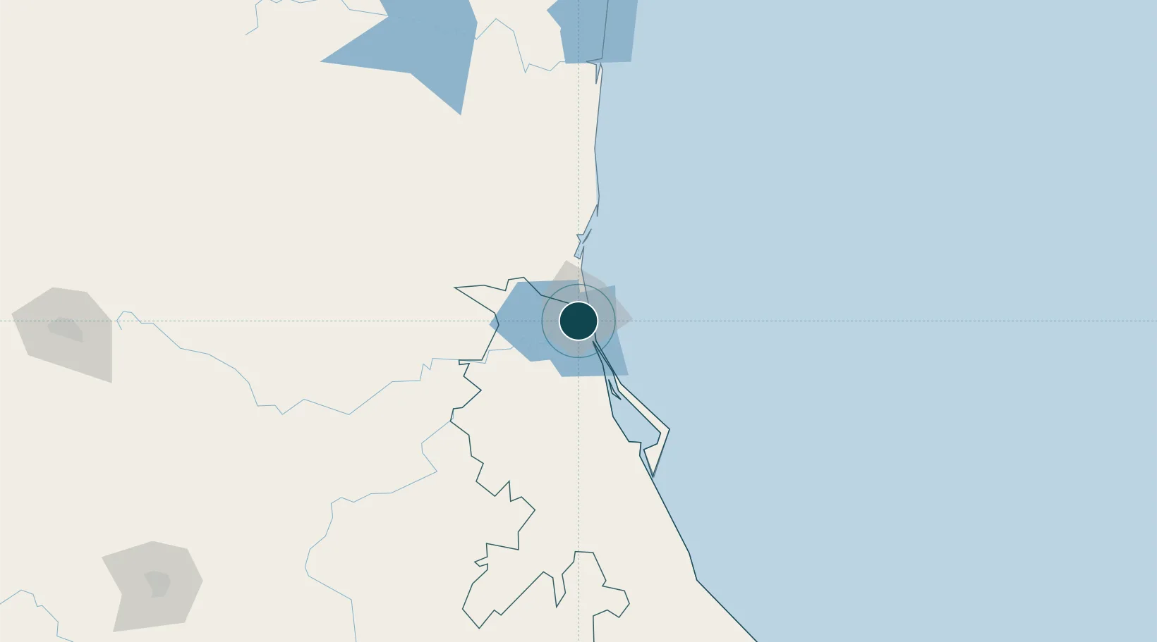
Location
Nearby Logistics Neighbours
Ports
- 1Altamira30 km
- 2Tuxpan149 km
- 3Veracruz381 km
- 4Brownsville418 km
- 5Port Isabel435 km
Cities
- 1Ciudad Madero7 km
- 2Altamira25 km
- 3Atizapán de Zaragoza99 km
- 4Tantoyuca104 km
- 5Temapache130 km
Airports
Trade Zones
- 1FTZ No. 062 Brownsville418 km
- 2FTZ No. 156 Weslaco438 km
- 3FTZ No. 157 Casper438 km
- 4FTZ No. 012 McAllen439 km
- 5FTZ No. 095 Starr County473 km
DatabookThe Record of Consolidated Knowledge
Mexico beyond logistics?