Large airport · Mexico
Guanajuato International AirportMMLO
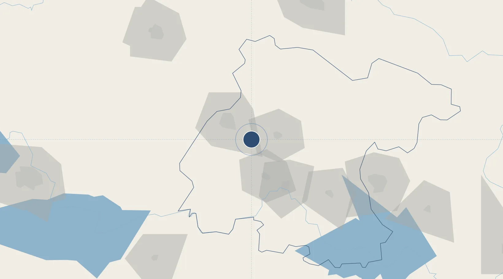
20.9927°, -101.4803°
11,483 ft
Longest runway
1
Runways
5,956 ft
Elevation
Runway & Layout

Radio Frequencies
ATIS
128.4 MHz
TWR
118.35 MHz
LEON TWR
APP
119.05 MHz
LEON APP
Navaids
BJX VOR-DME Leon 115.80 MHz
Runways · 1
| Runway | Dimensions | Surface | True heading | Lit |
|---|---|---|---|---|
| 13/31 | 11,483 × 148ft | Asphalt | 134° | ✓ |
Airport Specifications
IATA code
BJX
ICAO code
MMLO
Airport class
Large airport
Scheduled service
Yes
Runway surface
Asphalt
Served city
Silao
Location
Nearby Logistics Neighbours
Airports
Cities
- 1Granjas35 km
- 2La Purísima50 km
- 3Dolores Hidalgo61 km
- 4Celaya87 km
- 5La Piedad de Cabadas90 km
Ports
- 1Lazaro Cardenas348 km
- 2Manzanillo367 km
- 3Puerto Vallarta396 km
- 4Tampico398 km
- 5Altamira410 km
Trade Zones
- 1The Special Economic Zone of Lázaro Cárdenas - La Unión349 km
- 2FTZ No. 095 Starr County657 km
- 3FTZ No. 012 McAllen660 km
- 4FTZ No. 156 Weslaco674 km
- 5FTZ No. 157 Casper674 km
DatabookThe Record of Consolidated Knowledge
Mexico beyond logistics?