Medium airport · Mexico

General Leobardo C. Ruiz International AirportMMZC

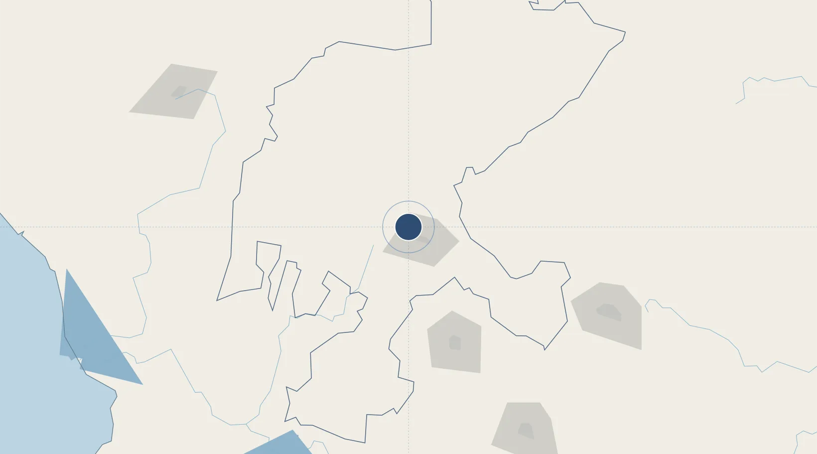
22.8949°, -102.6872°
9,843 ft
Longest runway
1
Runways
7,141 ft
Elevation

Runway & Layout

General Leobardo C. Ruiz International Airport runway & taxiway layout
Runway & taxiway layout — OpenStreetMap (ODbL) / OurAirports

Radio Frequencies

TWR
118 MHz
ZACATECAS TWR
OurAirports

Navaids

ZCL VOR-DME Zacatecas 117.60 MHz
OurAirports

Runways · 1

RunwayDimensions SurfaceTrue headingLit
02/20 9,843 × 148ft Asphalt 028°
OurAirports

Airport Specifications

IATA code
ZCL
OurAirports
ICAO code
MMZC
OurAirports
Airport class
Medium airport
OurAirports
Scheduled service
Yes
OurAirports
Runway surface
Asphalt
OurAirports
Served city
Zacatecas
OurAirports

Location

Location of MMZC
Natural Earth 10m (public domain) · Zacatecas · MMZC · 22.89, -102.69GoogleOSMYandex

Nearby Logistics Neighbours

Airports
  1. 1Aguascalientes International Airport138 km
  2. 2Ponciano Arriaga International Airport193 km
  3. 3Cedros Airport214 km
  4. 4General Guadalupe Victoria International Airport232 km
  5. 5Guanajuato International Airport245 km
Nearest neighbours — logibook spatial index (haversine) over the source coordinates
Cities
  1. 1Fresnillo35 km
  2. 2Jesus Maria109 km
  3. 3La Troje127 km
  4. 4Obregón163 km
  5. 5Jalisco171 km
Nearest neighbours — logibook spatial index (haversine) over the source coordinates
Ports
  1. 1Puerto Vallarta368 km
  2. 2Mazatlan383 km
  3. 3Manzanillo460 km
  4. 4Altamira498 km
  5. 5Tampico501 km
Nearest neighbours — logibook spatial index (haversine) over the source coordinates
Trade Zones
  1. 1FTZ No. 095 Starr County550 km
  2. 2The Special Economic Zone of Lázaro Cárdenas - La Unión555 km
  3. 3FTZ No. 012 McAllen575 km
  4. 4FTZ No. 156 Weslaco595 km
  5. 5FTZ No. 157 Casper595 km
Nearest neighbours — logibook spatial index (haversine) over the source coordinates
DatabookThe Record of Consolidated Knowledge
Mexico beyond logistics?
Browse databook

All Sources

AirportsOurAirports
Public domain
Portsthe NGA World Port Index
Public domain (US gov)
LocationsUN/LOCODE
UN/LOCODE — free
Trade Zonesthe World Bank SEZ database
CC BY 4.0
Trade ZonesOpen Zone Map
CC BY
InfrastructureOpenStreetMap
ODbL 1.0
← Mexico airports