Transport Functions
Port
Multimodal
Hub Profile
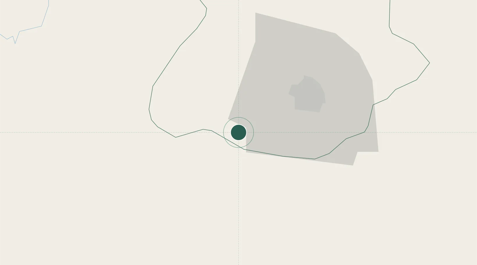
Place type
Populated place
Region
Aguascalientes
Time zone
America/Mexico_City
Elevation
1,963 m
Location
Nearby Logistics Neighbours
Cities
- 1Jesus Maria29 km
- 2Puerto Interior Leon101 km
- 3Granjas104 km
- 4Tepatitlán de Morelos108 km
- 5Acatic115 km
Ports
- 1Puerto Vallarta311 km
- 2Manzanillo355 km
- 3Lazaro Cardenas428 km
- 4Mazatlan430 km
- 5Tampico484 km
Airports
Trade Zones
- 1The Special Economic Zone of Lázaro Cárdenas - La Unión429 km
- 2FTZ No. 095 Starr County636 km
- 3FTZ No. 012 McAllen652 km
- 4FTZ No. 156 Weslaco670 km
- 5FTZ No. 157 Casper670 km
DatabookThe Record of Consolidated Knowledge
Mexico beyond logistics?