Medium airport · Mexico

Creel International Airport / Barrancas del Cobre Regional AirportMX-0424

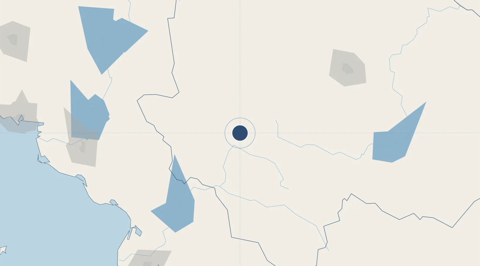
27.7251°, -107.6520°
8,132 ft
Elevation

Runway & Layout

Creel International Airport / Barrancas del Cobre Regional Airport runway & taxiway layout
Runway & taxiway layout — OpenStreetMap (ODbL) / OurAirports

Airport Specifications

ICAO code
MMGA
OurAirports
Airport class
Medium airport
OurAirports
Scheduled service
No
OurAirports
Served city
Bocoyna
OurAirports

Location

Location of MX-0424
Natural Earth 10m (public domain) · Chihuahua · MX-0424 · 27.73, -107.65GoogleOSMYandex

Nearby Logistics Neighbours

Cities
  1. 1Bachíniva121 km
  2. 2Jiménez231 km
  3. 3Saucillo235 km
  4. 4Camargo238 km
  5. 5Guasave253 km
Nearest neighbours — logibook spatial index (haversine) over the source coordinates
Ports
  1. 1Topolobampo275 km
  2. 2Guaymas322 km
  3. 3Isla San Marcos443 km
  4. 4Santa Rosalia459 km
  5. 5Pichilingue469 km
Nearest neighbours — logibook spatial index (haversine) over the source coordinates
Trade Zones
  1. 1FTZ No. 068 El Paso472 km
  2. 2FTZ No. 150 El Paso472 km
  3. 3FTZ No. 139 Sierra Vista496 km
  4. 4FTZ No. 060 Nogales513 km
  5. 5FTZ No. 197 Dona Ana County522 km
Nearest neighbours — logibook spatial index (haversine) over the source coordinates
DatabookThe Record of Consolidated Knowledge
Mexico beyond logistics?
Browse databook

All Sources

AirportsOurAirports
Public domain
Portsthe NGA World Port Index
Public domain (US gov)
LocationsUN/LOCODE
UN/LOCODE — free
Trade Zonesthe World Bank SEZ database
CC BY 4.0
Trade ZonesOpen Zone Map
CC BY
InfrastructureOpenStreetMap
ODbL 1.0
← Mexico airports