UN/LOCODE hub · United States
USHBJ
Hebbronville
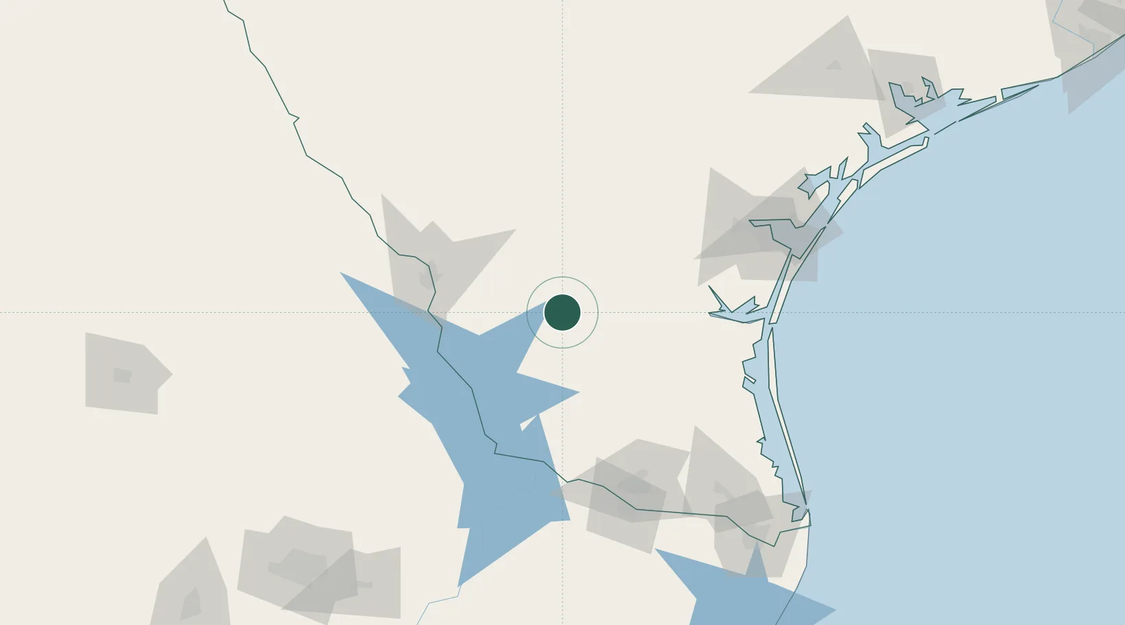
27.3000°, -98.6833°
4,558
Population
2
Transport functions
Transport Functions
Rail
Road
Hub Profile
Place type
Provincial seat
Region
Texas
Population
4,558
Time zone
America/Chicago
Elevation
167 m
Location
Nearby Logistics Neighbours
Cities
- 1Oilton34 km
- 2Premont56 km
- 3San Diego68 km
- 4Nuevo Laredo85 km
- 5Sarita89 km
Ports
- 1Corpus Christi139 km
- 2Port Ingleside159 km
- 3Port Aransas172 km
- 4Rockport180 km
- 5Brownsville197 km
Airports
Trade Zones
- 1FTZ No. 094 Laredo82 km
- 2FTZ No. 095 Starr County103 km
- 3FTZ No. 012 McAllen134 km
- 4FTZ No. 122 Corpus Christi139 km
- 5FTZ No. 156 Weslaco143 km
DatabookThe Record of Consolidated Knowledge
United States beyond logistics?