Transport Functions
Rail
Road
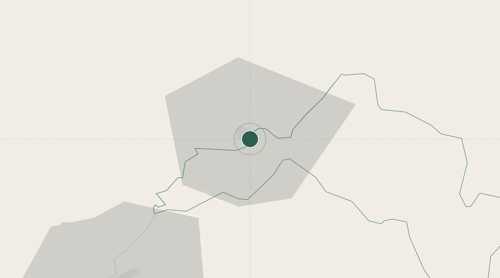
Hub Profile
Place type
Populated place
Region
Leribe
Population
61,916
Time zone
Africa/Maseru
Elevation
1,583 m
Location
Nearby Logistics Neighbours
Cities
- 1Butha-Buthe34 km
- 2Marquard52 km
- 3Roodekop115 km
- 4Bergville144 km
- 5Mohale's Hoek147 km
Ports
- 1Durban326 km
- 2Richards Bay409 km
- 3East London462 km
- 4Maputo562 km
- 5Port Elizabeth603 km
Airports
Trade Zones
DatabookThe Record of Consolidated Knowledge
Lesotho beyond logistics?