Diversified Zone · South Korea
Yangcheon Industrial Complex Active
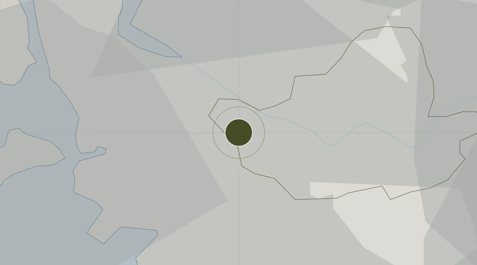
37.5274°, 126.8384°
168 ha
Zone area
20.7 km
Nearest port
5.4 km
Nearest airport
Gateway access
Zone profile
Zone type
Diversified Zone
Region
Seoul
Status
Active
Management
Public
Operator
Gyeonggi Urban Innovation Corporation
Legal framework
Special Act On Designation And Management Of Free Economic Zones Expand Act No. 15309, Dec. 26, 2017, Foreign Investment Promotion Act: Expand Act No. 16131, Dec. 31, 2018.
Location
Nearby Logistics Neighbours
Ports
- 1Inchon21 km
- 2Pyeongtaek Hang59 km
- 3Daesan Hang69 km
- 4Haeju Hang113 km
- 5Kyomip'o172 km
Airports
- 1Gimpo International Airport5 km
- 2Seoul Air Base (K-16)26 km
- 3Incheon International Airport35 km
- 4Suwon Airport35 km
- 5Osan Air Base51 km
Cities
- 1Gwangmyeong7 km
- 2Bucheon8 km
- 3Sungnam (Seoul Ab)9 km
- 4Goyang14 km
- 5Gimpo17 km
DatabookThe Record of Consolidated Knowledge
South Korea beyond logistics?