Industrial Complex · South Korea
Seoul Digital National Industrial Complex
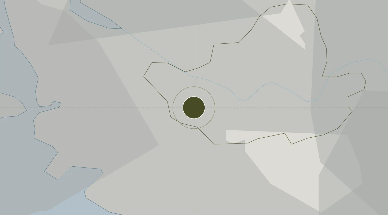
37.4952°, 126.8848°
198 ha
Zone area
23.9 km
Nearest port
10.8 km
Nearest airport
Gateway access
Zone profile
Zone type
Industrial Complex
Region
Seoul
Established
1974
Management
State-owned enterprise
Operator
KICOX
Regulatory authority
National, provincial or city-level governments
Legal framework
Industrial Sites and Development Act, and the Industrial Placement and Factory Act
Location
Fiscal & incentives
Corporate tax
22%
Tax relief
100% exempt
Relief duration
5 years
VAT
No exemption
Import duty (inputs)
0% exempt
Import duty (capex)
100% exempt
Profit repatriation
No exemption
Capital gains
No exemption
Withholding tax
No exemption
Min. investment
$30M
Min. export
0%
Employment incentive
Employment and training subsidies available to companies that newly employ 20 more individuals
Developer incentive
No established framework
Nearby Logistics Neighbours
Ports
- 1Inchon24 km
- 2Pyeongtaek Hang56 km
- 3Daesan Hang68 km
- 4Haeju Hang118 km
- 5Sokch'o Hang170 km
Airports
- 1Gimpo International Airport11 km
- 2Seoul Air Base (K-16)21 km
- 3Suwon Airport30 km
- 4Incheon International Airport38 km
- 5Osan Air Base47 km
Cities
- 1Sungnam (Seoul Ab)4 km
- 2Gwangmyeong4 km
- 3Bucheon12 km
- 4Gwacheon12 km
- 5Anyang13 km
DatabookThe Record of Consolidated Knowledge
South Korea beyond logistics?